State College, PA
Weather Forecast Office
Overview
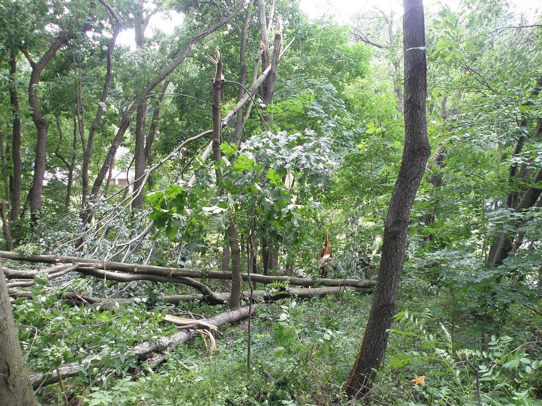
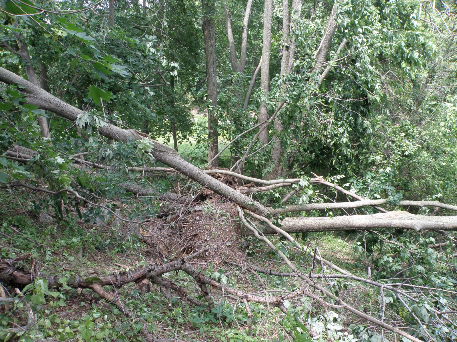
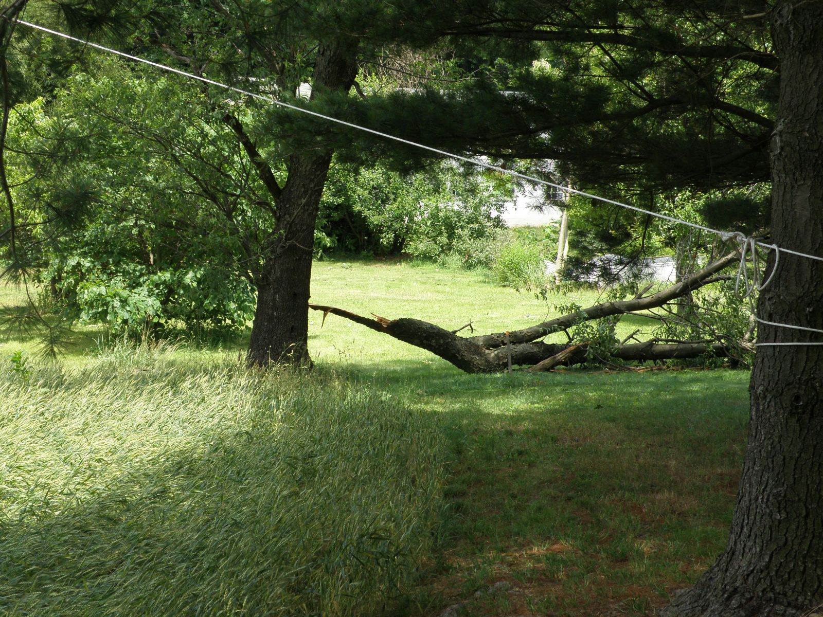
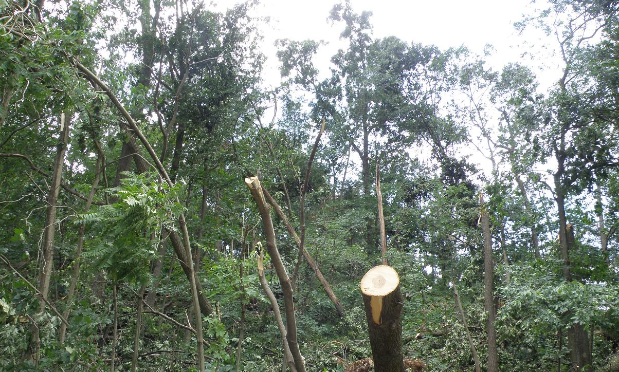
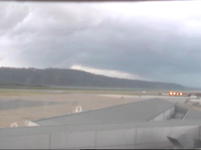
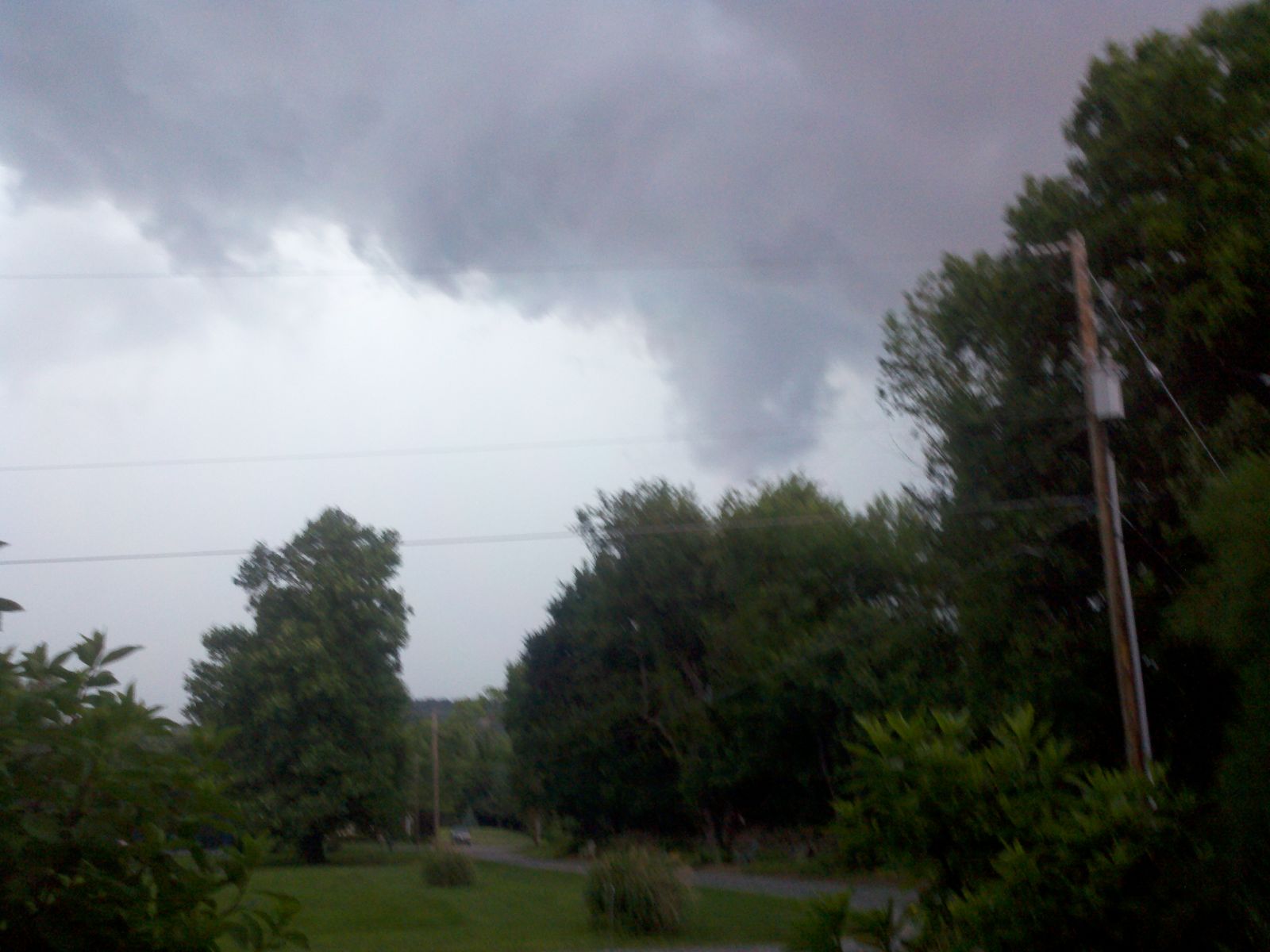
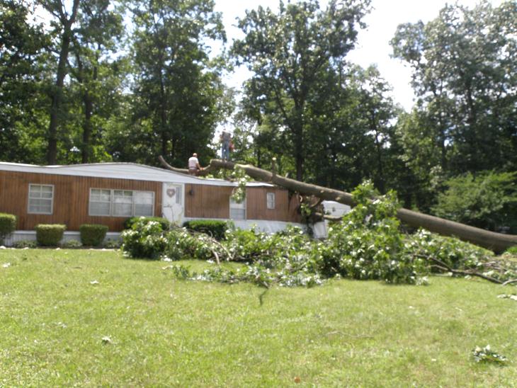
Two tornadoes occurred in Windsor Township, York County, PA on June 12th, 2011.Tornadoes:
  
|
| EF0 Weak 65-85 mph |
EF1 Moderate 86-110 mph |
EF2 Significant 111-135 mph |
EF3 Severe 136-165 mph |
EF4 Extreme 166-200 mph |
EF5 Catastrophic 200+ mph |
 |
|||||
Damage Photos
 |
 |
 |
 |
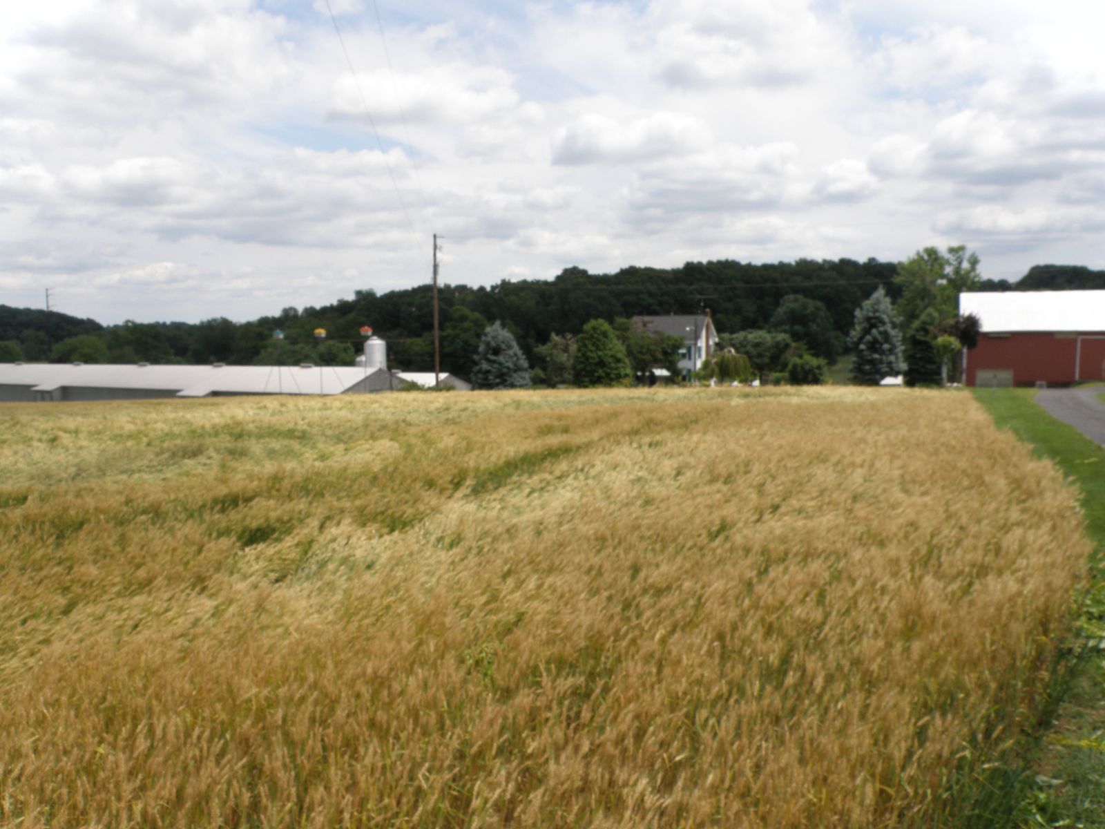
Photos
 |
 |
 |
 |
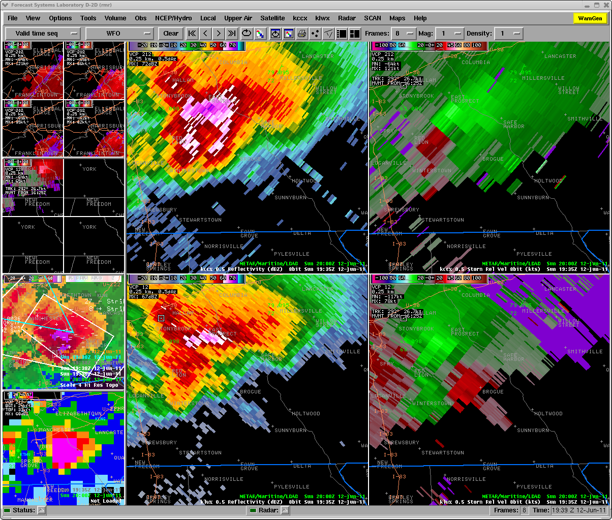
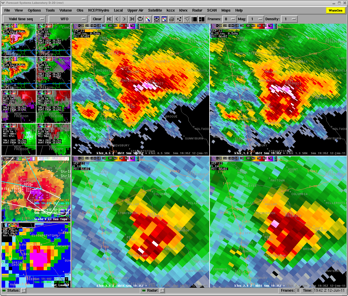
Radar
 |
 |
||
| 1935Z (335 PM EDT) 0.5 Reflectivity and SRM from KCCX (top) and KLWX (bottom) | 1935Z (335 PM EDT) Reflectivity 4-panel KLWX Radar (Hook and BWER) |
 |
Media use of NWS Web News Stories is encouraged! Please acknowledge the NWS as the source of any news information accessed from this site. |
|
US Dept of Commerce
National Oceanic and Atmospheric Administration
National Weather Service
State College, PA
328 Innovation Blvd, Suite 330
State College, PA 16803
(814)954-6440
Comments? Questions? Please Contact Us.


 Send Us a Report