National Weather Service United States Department of Commerce

Dangerous Heat in the Central U.S. and Northeast; Heavy Rainfall Across the Gulf Coast

A significant heat wave is underway for the Intermountain West, Northern Plains, and Upper Great Lakes, peaking in intensity through Tuesday. This heat is expected to be exceptionally rare and produce numerous high temperature records. Showers and thunderstorms with the potential to produce heavy rainfall and flash flooding is expected across the Gulf Coast. Read More >

This page will refresh every 10 minutes

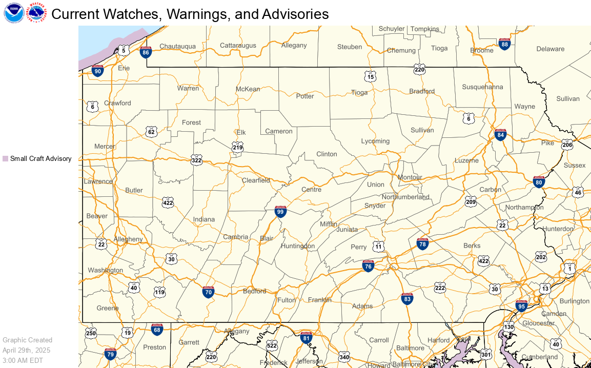
Current Hazards Map

Current Hazards Map

Severe Weather / Excessive Rainfall Outlooks

Day 1 | Day 2 | Day 3


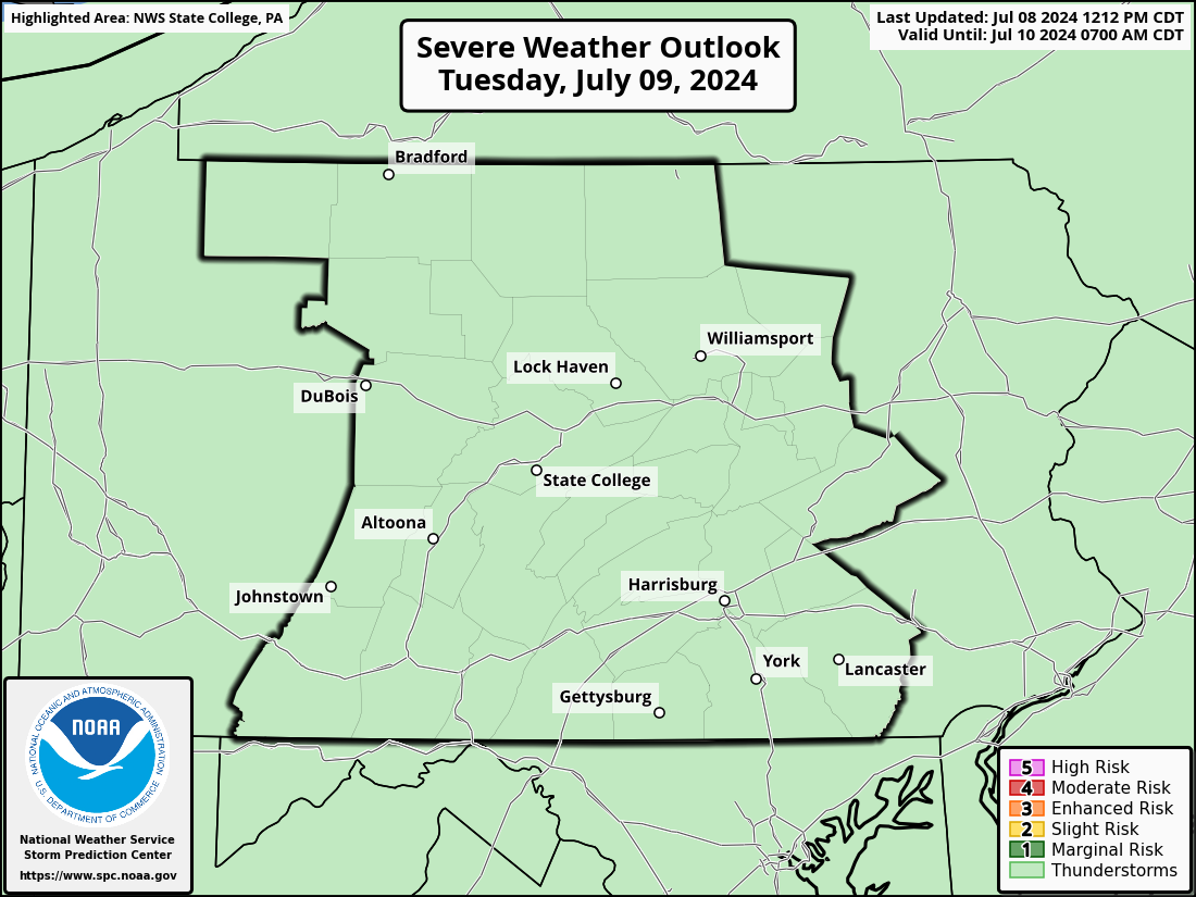
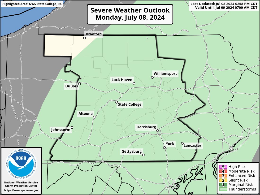
Day 1 Severe Weather Outlook

Day 1 Severe Weather Outlook

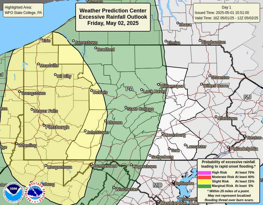
Day 1 Excessive Rainfall Outlook

Day 1 Excessive Rainfall Outlook


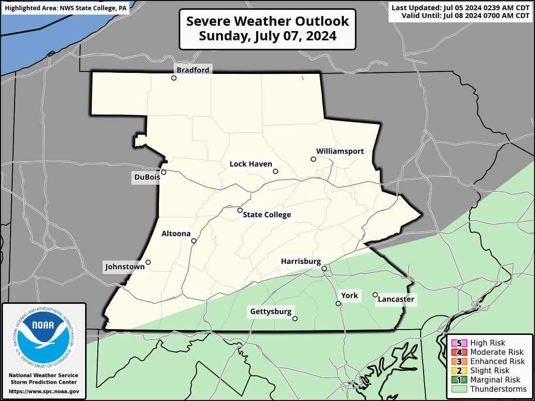
Day 2 Severe Weather Outlook

Day 2 Severe Weather Outlook

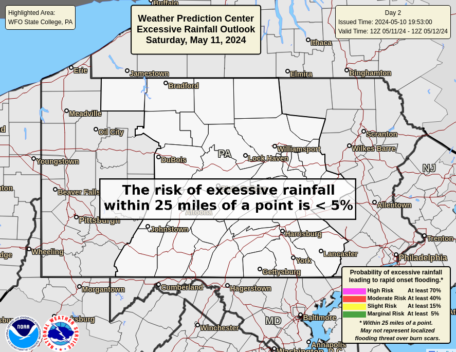
Day 2 Excessive Rainfall Outlook

Day 2 Excessive Rainfall Outlook


Day 3 Severe Weather Outlook

Day 3 Severe Weather Outlook

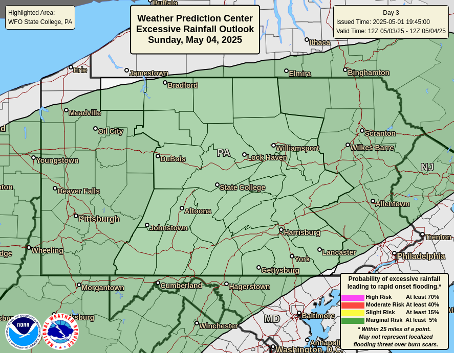
Day 3 Excessive Rainfall Outlook

Day 3 Excessive Rainfall Outlook


Radar

National Radar | Regional Radar | State College Radar | Washington DC Radar | More Area Radars
 

Links to National Radar Page


Regional Radar Loop

Regional Radar


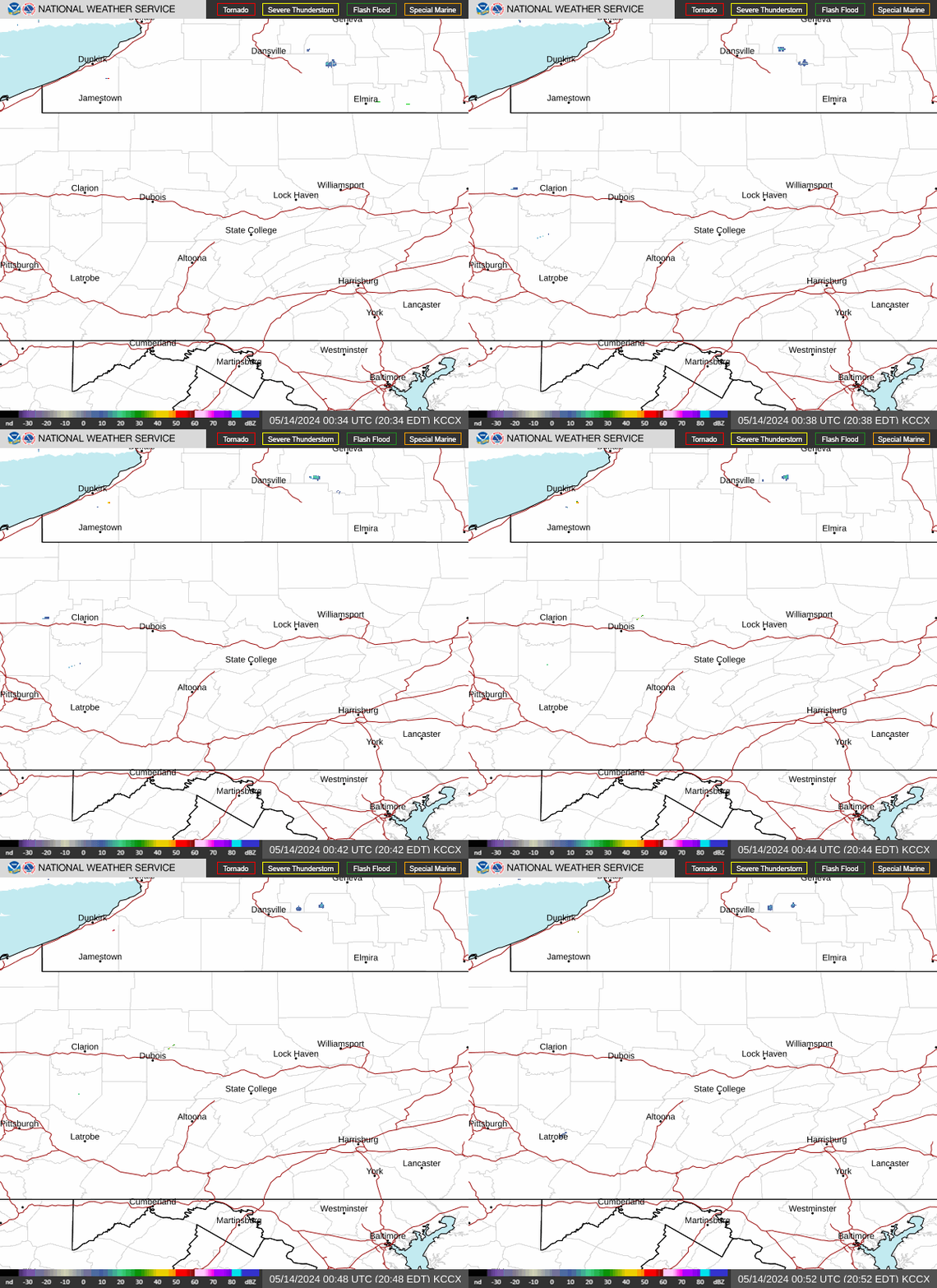
State College Radar Loop     (View High Bandwidth Radar Page)

KCCX Radar (State College)


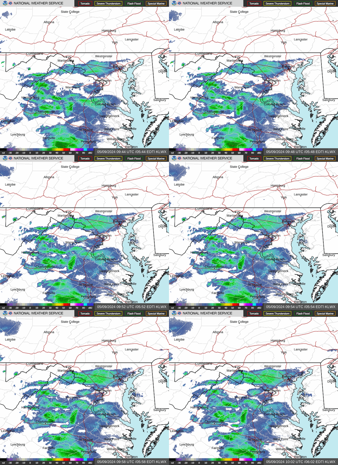
Washington DC Radar Loop     (View High Bandwidth Radar Page)

KLWX Radar (Sterling, VA)


More Area Radars    (Click an image to view loop)
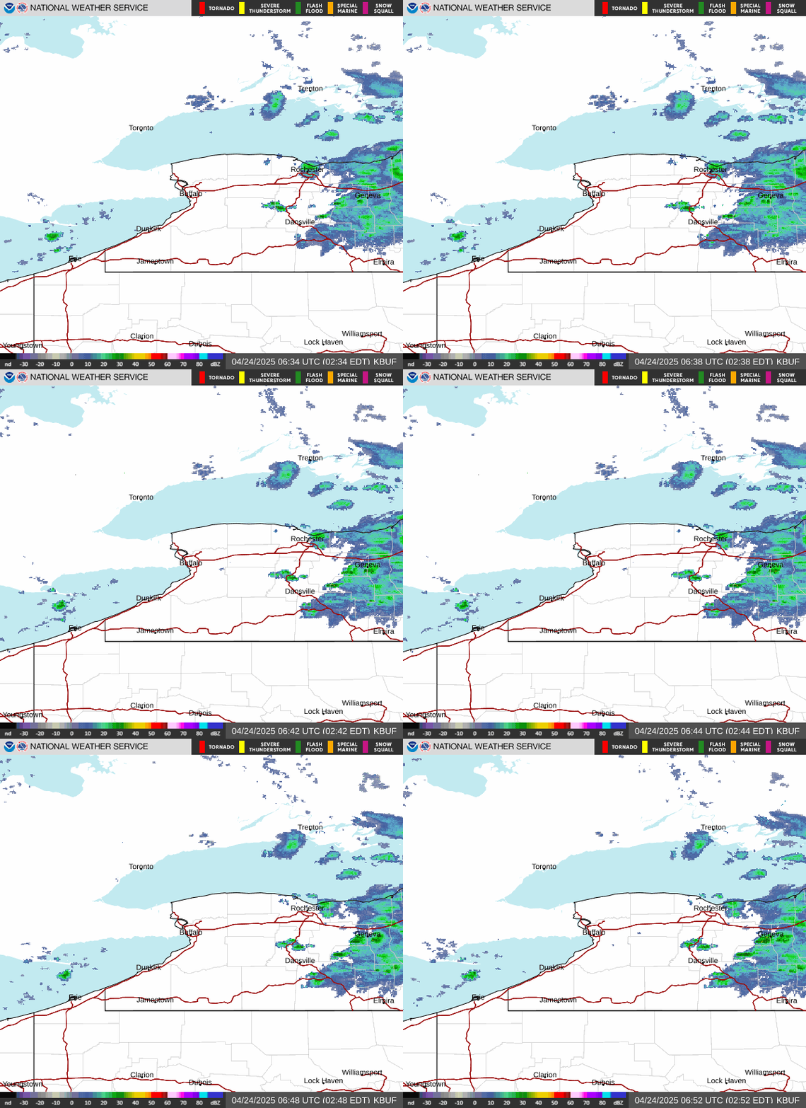
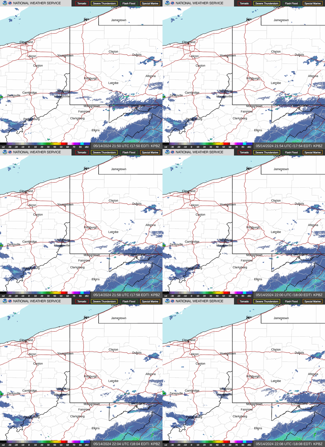
KPBZ Radar (Pittsburgh) KCLE Radar (Cleveland, OH) KBUF Radar (Buffalo, NY)
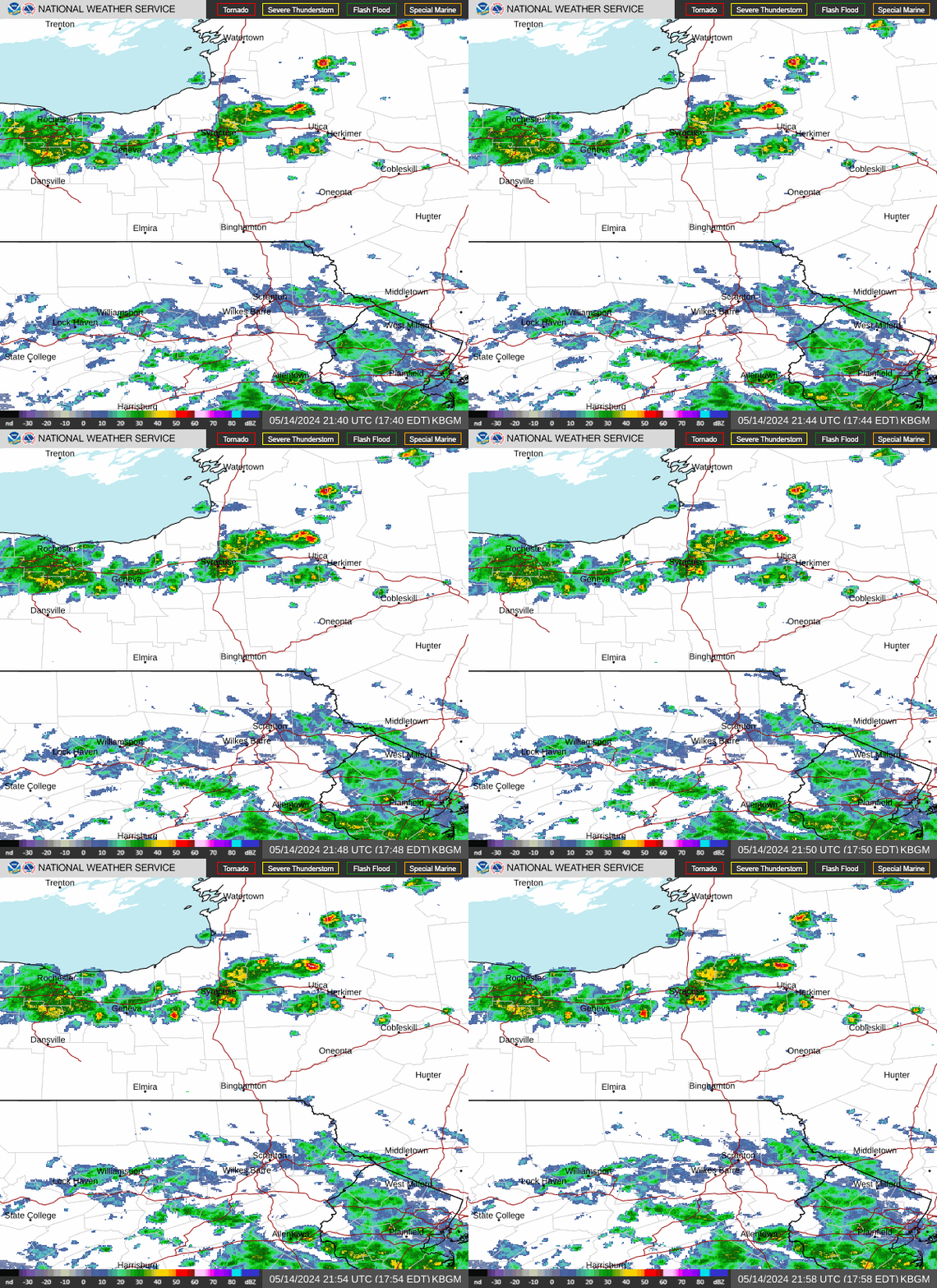
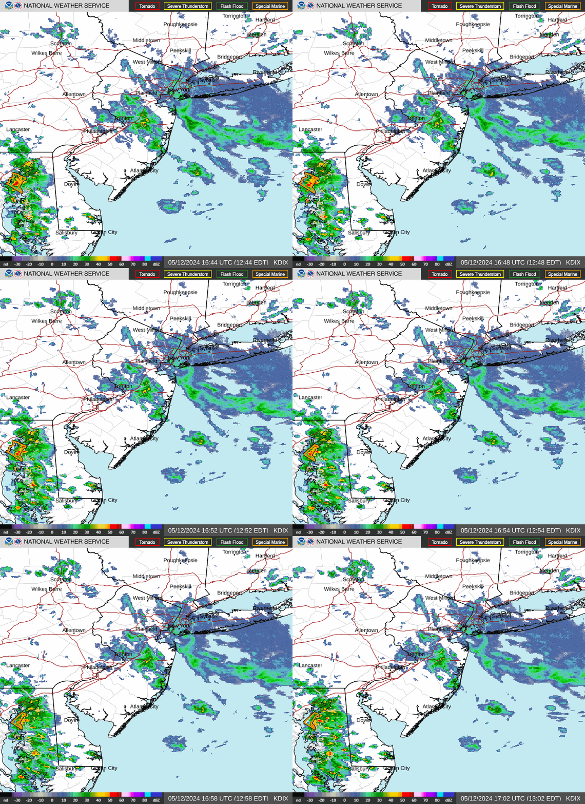
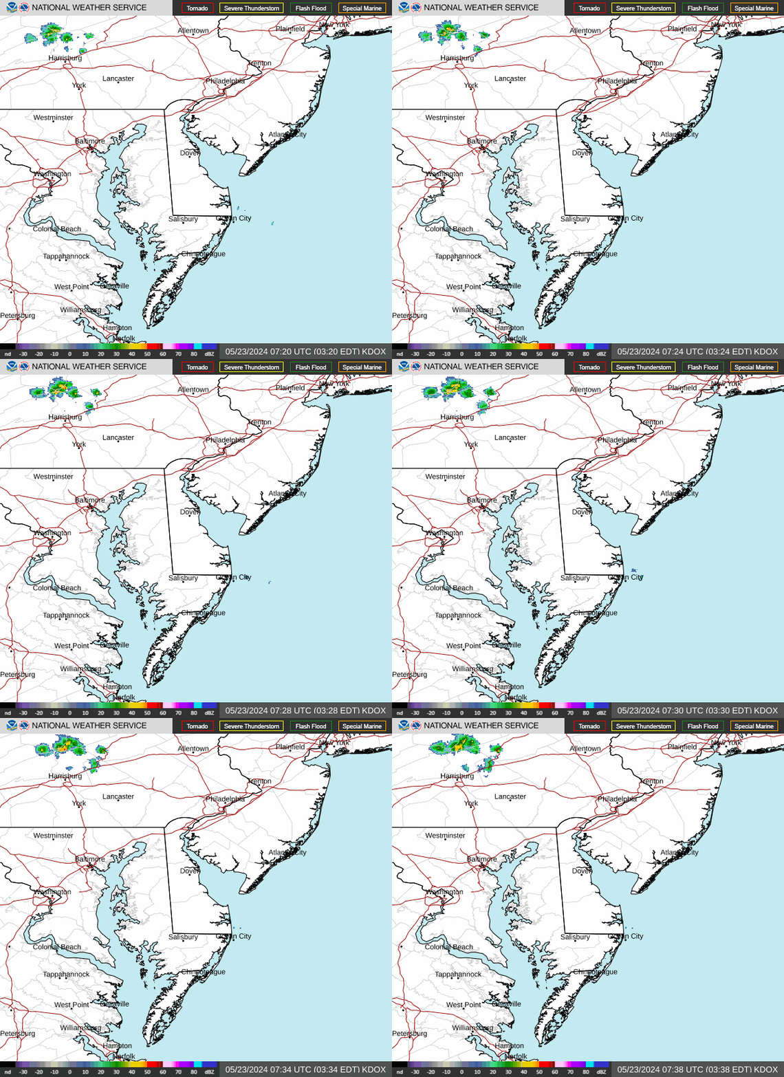
KBGM Radar (Binghamton, NY) KDIX Radar (Philadelphia) KDOX Radar (Dover, DE)

Latest Forecast for Cumberland County

Latest Observations

Forecast Discussion

GeoColor Satellite (Click HERE for loop)

GeoColor Image


Visible Satellite (Click HERE for loop)

Visible Image


Infrared Satellite (Click HERE for loop)

Infrared Image