National Weather Service United States Department of Commerce

Catastrophic Flooding Impacts in South-Central Texas

Widespread life-threatening flash and urban flooding will continue to pose a significant threat to life and property in south-central Texas. Catastrophic fiver flooding, with rapid rises on small streams, arroyos, and typically dry washes, is expected. Monsoonal showers persist across the Great Basin and Southwest with greatest flash flooding in southern Arizona. Read More >

This page will refresh every 10 minutes

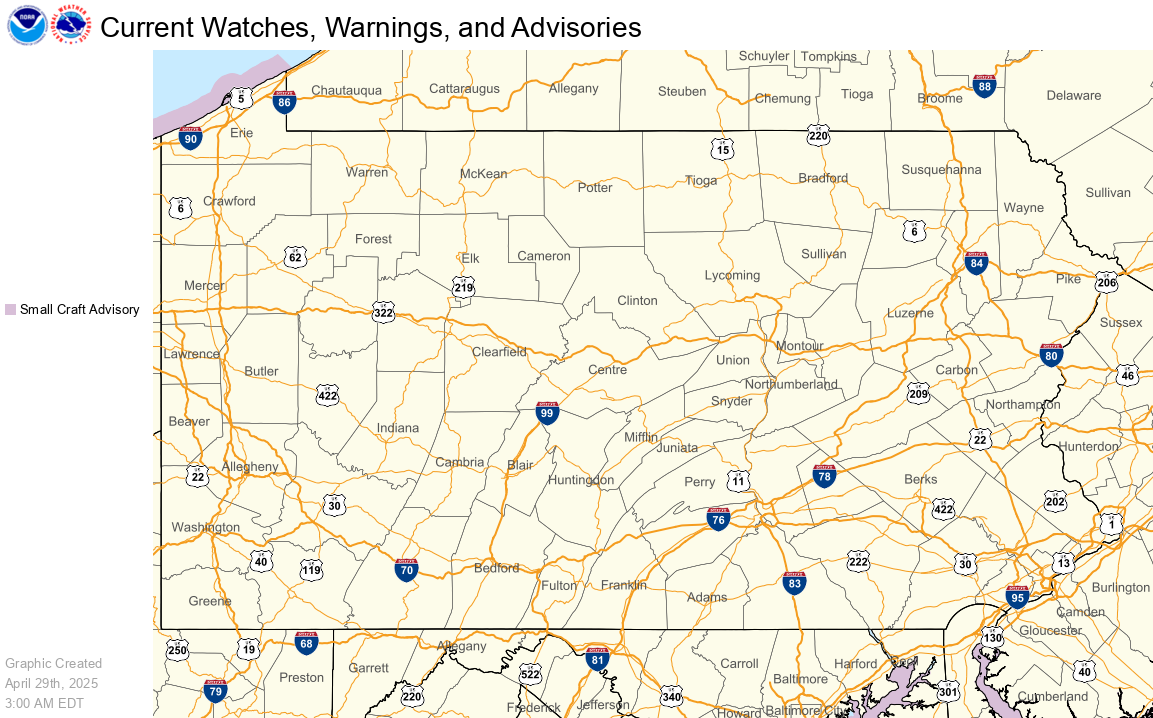
Current Hazards Map

Current Hazards Map

Severe Weather / Excessive Rainfall Outlooks

Day 1 | Day 2 | Day 3


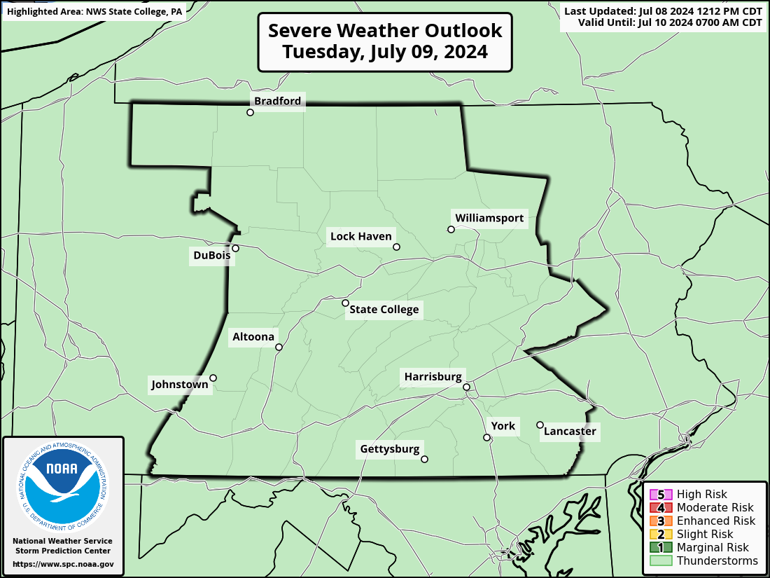
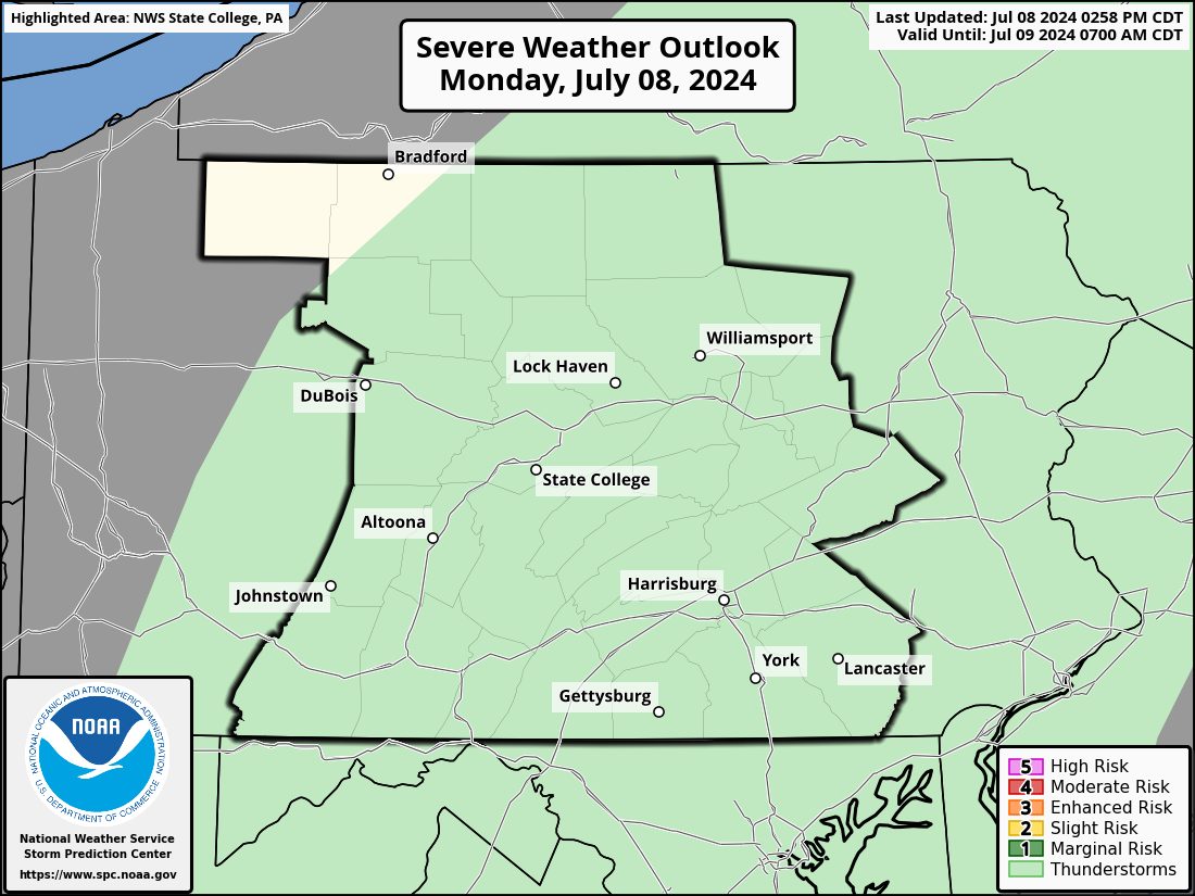
Day 1 Severe Weather Outlook

Day 1 Severe Weather Outlook

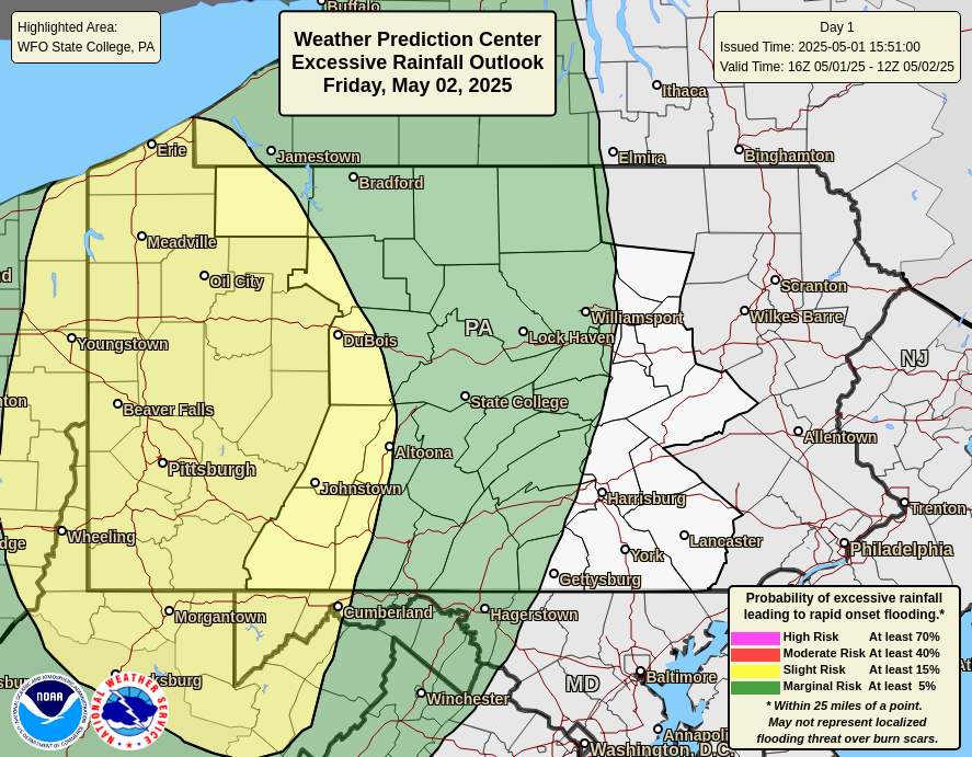
Day 1 Excessive Rainfall Outlook

Day 1 Excessive Rainfall Outlook


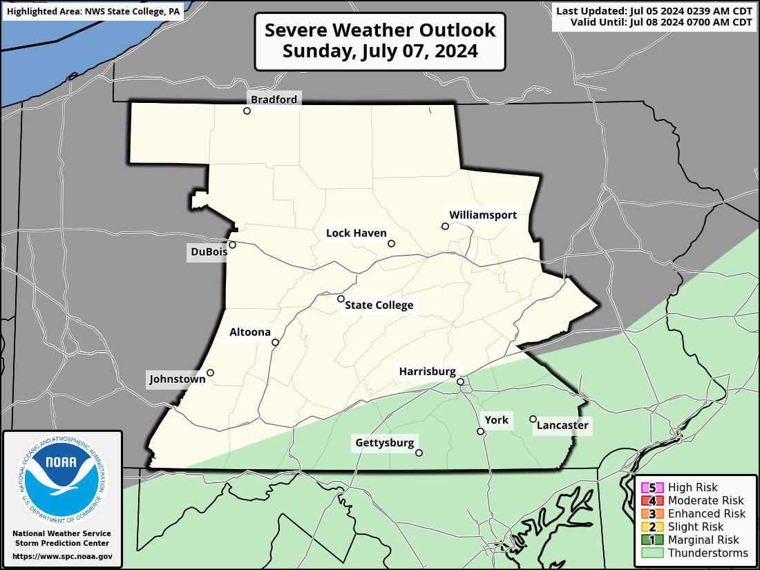
Day 2 Severe Weather Outlook

Day 2 Severe Weather Outlook

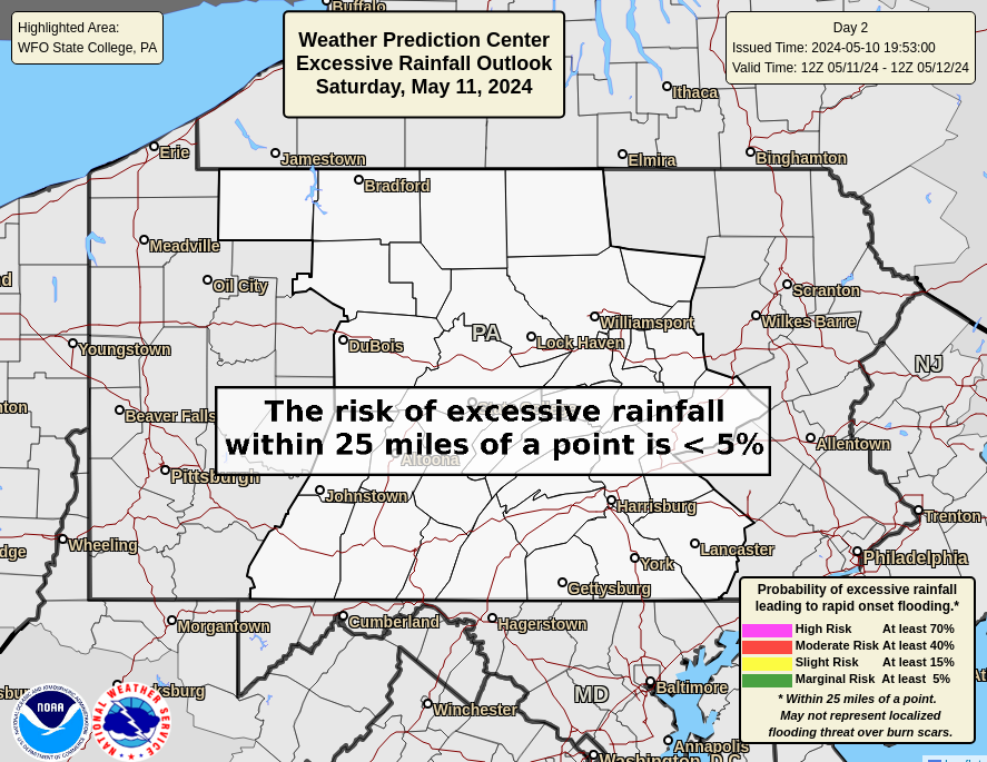
Day 2 Excessive Rainfall Outlook

Day 2 Excessive Rainfall Outlook


Day 3 Severe Weather Outlook

Day 3 Severe Weather Outlook

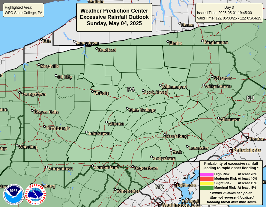
Day 3 Excessive Rainfall Outlook

Day 3 Excessive Rainfall Outlook


Radar

National Radar | Regional Radar | State College Radar | Washington DC Radar | More Area Radars
 

Links to National Radar Page


Regional Radar Loop

Regional Radar


State College Radar Loop     (View High Bandwidth Radar Page)

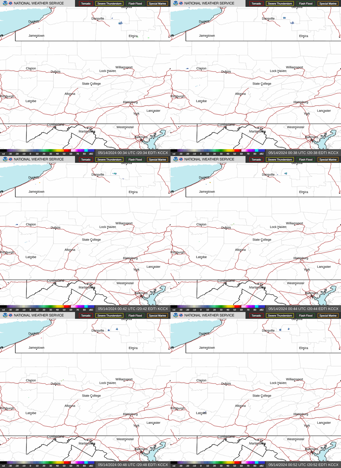
KCCX Radar (State College)


Washington DC Radar Loop     (View High Bandwidth Radar Page)

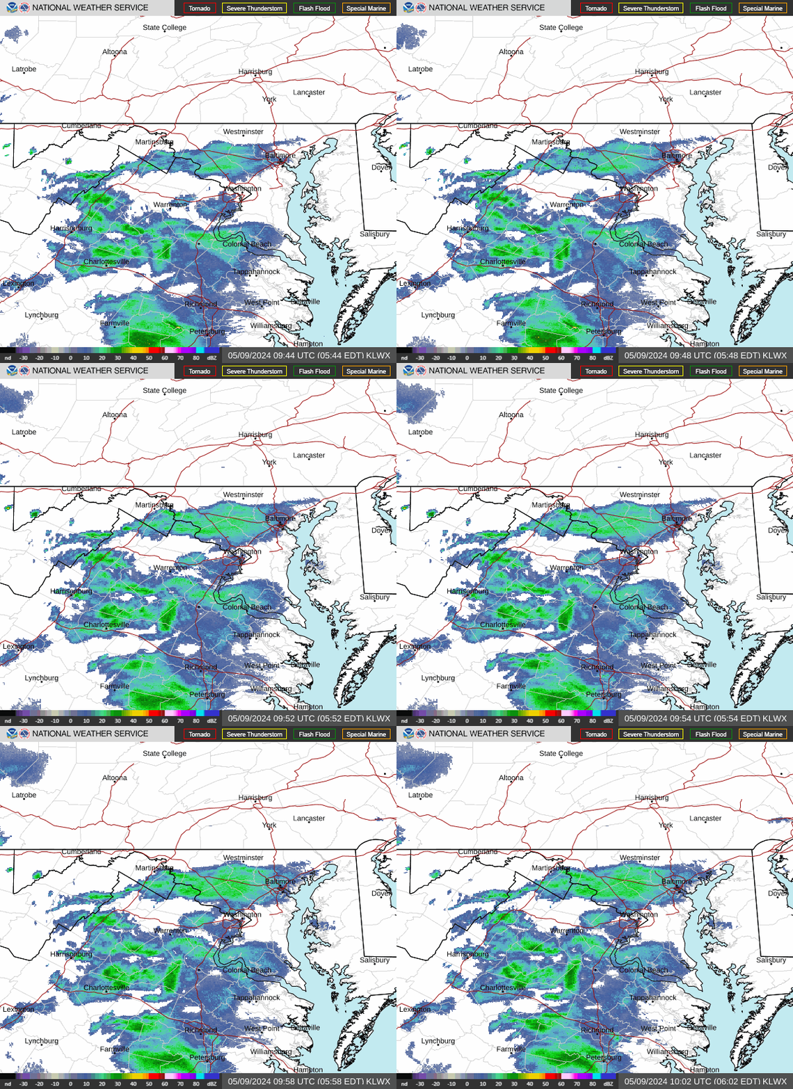
KLWX Radar (Sterling, VA)


More Area Radars    (Click an image to view loop)
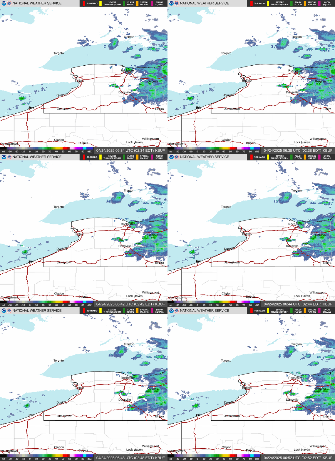
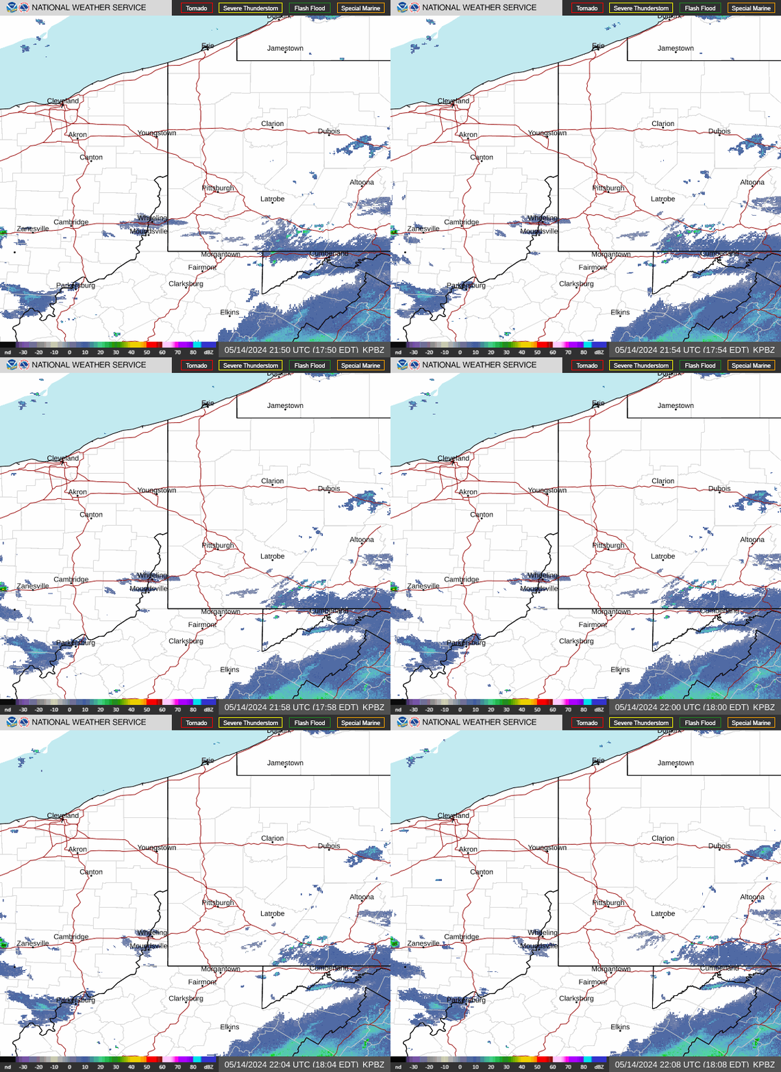
KPBZ Radar (Pittsburgh) KCLE Radar (Cleveland, OH) KBUF Radar (Buffalo, NY)
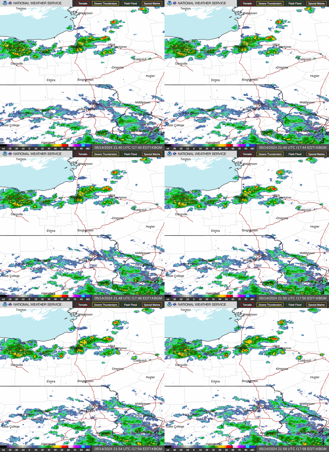
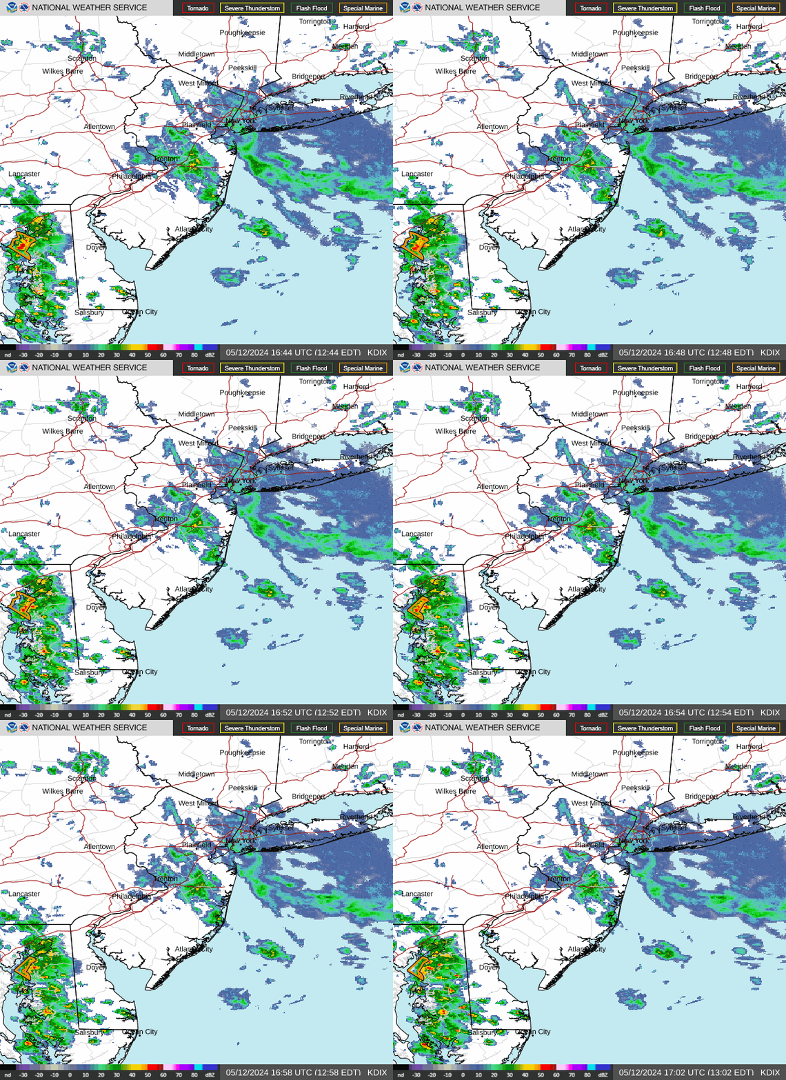
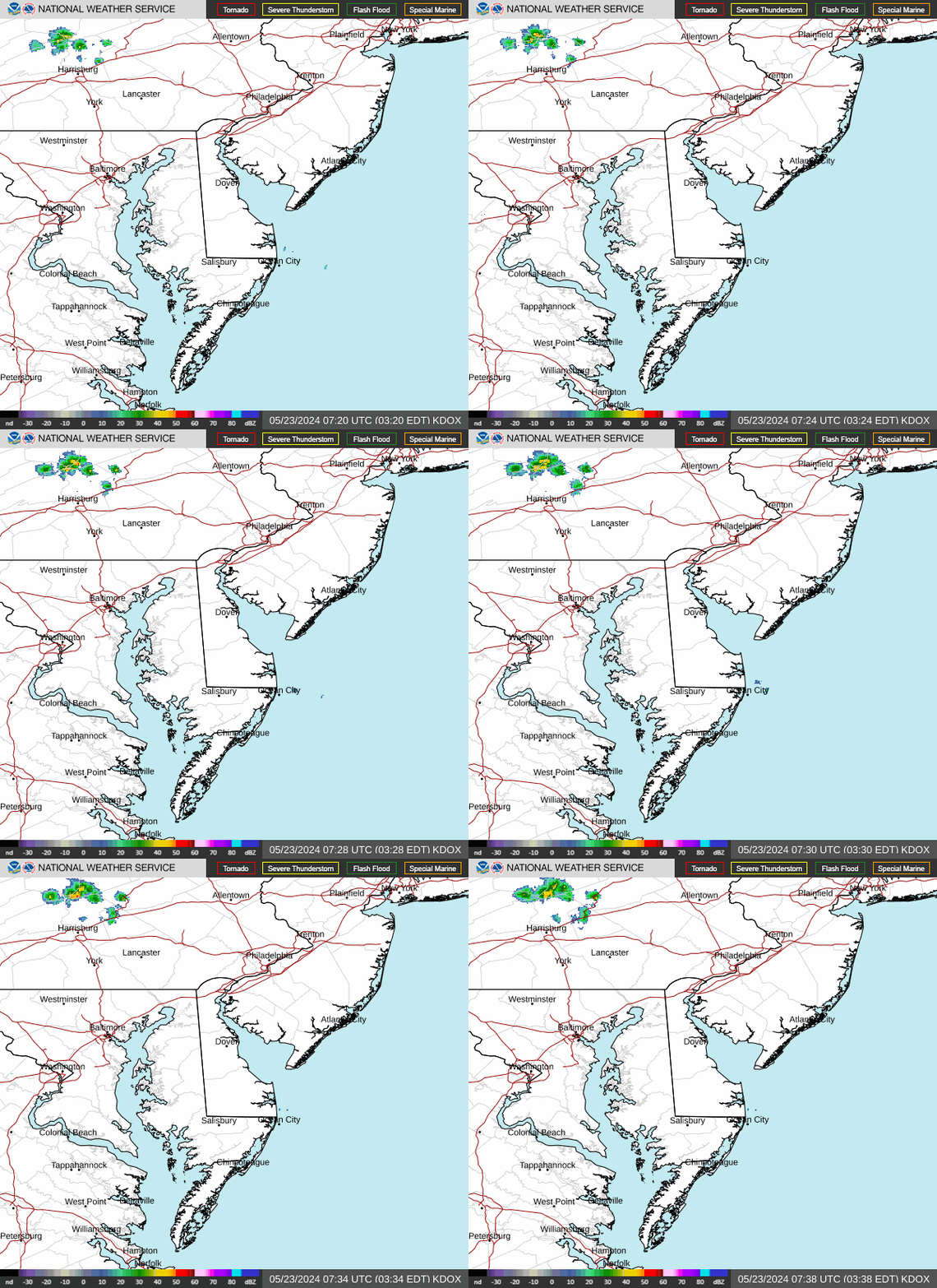
KBGM Radar (Binghamton, NY) KDIX Radar (Philadelphia) KDOX Radar (Dover, DE)

Latest Forecast for Perry County

Latest Observations

Forecast Discussion

GeoColor Satellite (Click HERE for loop)

GeoColor Image


Visible Satellite (Click HERE for loop)

Visible Image


Infrared Satellite (Click HERE for loop)

Infrared Image