State College, PA
Weather Forecast Office
|
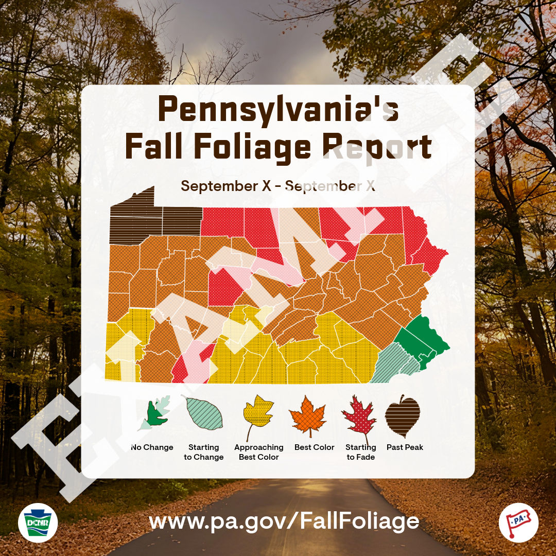
View the latest Fall Foliage Report at www.pa.gov/FallFoliage |
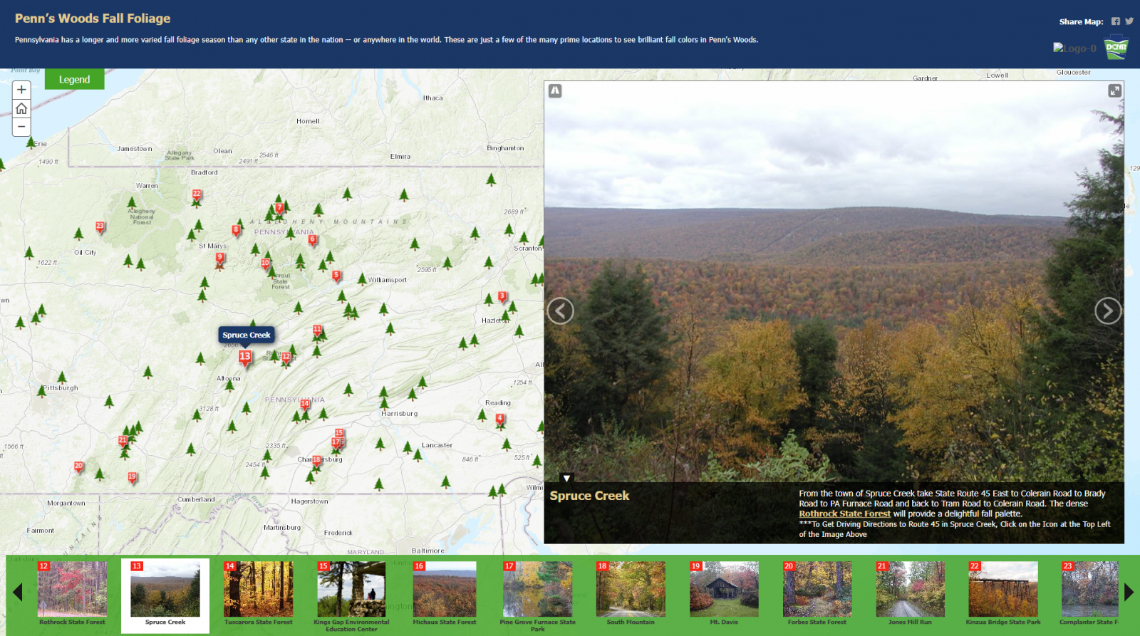
Check out the Fall Foliage Interactive Map to see where YOU can see brilliant fall colors: https://maps.dcnr.pa.gov/storymaps/fallfoliage/ |
|---|---|
 |
 |

| 6-10 Day Temperature Outlook (CPC) | 6-10 Day Precipitation Outlook (CPC) |
 |
 |
| 8-14 Day Temperature Outlook (CPC) | 8-14 Day Precipitation Outlook (CPC) |
 |
 |
| **Experimental** Week 3-4 Temperature Outlook (CPC) | **Experimental** Week 3-4 Precipitation Outlook (CPC) |
 |
 |
| One Month Temperature Outlook (CPC) | One Month Precipitation Outlook (CPC) |
 |
 |
| Three Month Temperature Outlook (CPC) | Three Month Precipitation Outlook (CPC) |
 |
 |
US Dept of Commerce
National Oceanic and Atmospheric Administration
National Weather Service
State College, PA
328 Innovation Blvd, Suite 330
State College, PA 16803
(814)954-6440
Comments? Questions? Please Contact Us.


 Send Us a Report