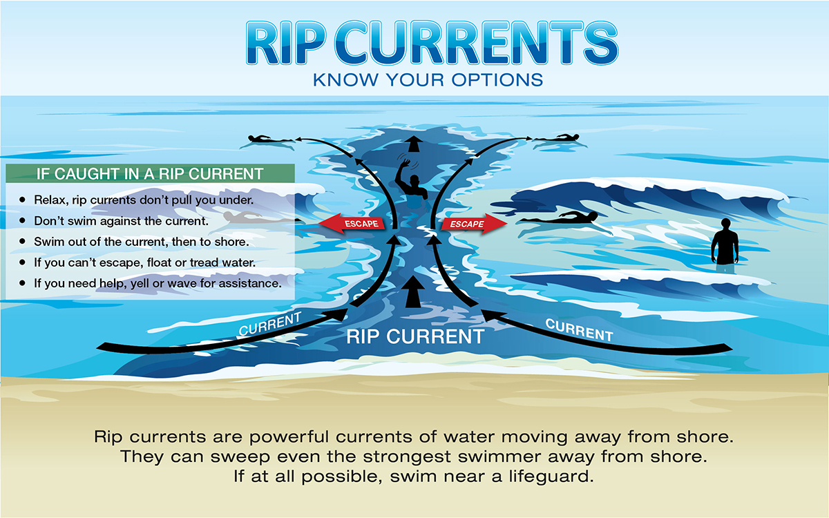
Rip currents are one of the main weather-related causes of fatalities along the Gulf and East Coasts. In recent years, tremendous effort by the NWS to increase awareness and provide vital forecast information to help mitigate this hazard. The objective of the Experimental Surf Forecast Matrix is to provide greater spatial and temporal resolution to the official Surf Zone Forecast (SRF) currently issued by coastal and Great Lakes National Weather Service offices.
The official SRF currently contains a full two-day forecast, with only one forecast value provided for each day per coastal county. That forecast is based on the maximum threat/value expected during daytime hours. However, the current SRF does not describe the timing or expected duration of the threat, nor does it provide detailed extended outlooks of beach threats at specific beaches. Surf hazards occur 24/7 and are constantly changing.
With recent improvements in wave modeling and rip current forecasting, including the Nearshore Wave Prediction System (NWPS) probabilistic rip current model, there is increased ability to add detail to the current SRF forecast method. The Experimental Surf Forecast Matrices will provide a 6-day forecast and include similar forecast parameters as the operational SRF product, with an individual matrix for popular beaches over County Warning Areas to increase the spatial resolution of our beach forecasts.
The Rip Probabilities included in the Experimental Surf Forecast Matrices are directly from the probabilistic rip current model tied to the NWPS. This model predicts the probabilities of hazardous rip currents occurring using output from the nearshore wave model on different forecasted wave groups and predicted tide levels. Values are calculated from 0-100%, hourly through 144 hours. Please note, the model is known to have a high bias.
In addition to rip currents, the Experimental Surf Forecast Matrices include increased temporal and spatial forecasts for other hazards such as high surf and strong longshore currents. High surf, typically breaking wave heights over 6 feet, create dangerous swimming conditions and could lead to localized beach erosion. Strong longshore currents can sweep swimmers and surfers into rip currents, piers, jetties, and other hazardous areas, and may sweep swimmers off their feet.
We value your input on the usefulness of this experimental product found at the links below. During the experimental process, we will be soliciting feedback from users to help improve the product and to determine it's usefulness in the long term.
NWS Brownsville/Rio Grande Valley, TX Surf Matrices
NWS Miami-South Florida Surf Matrices
NWS Mobile, AL/Pensacola, FL Surf Matrices
NWS Philadelphia, PA/Mount Holly, NJ Surf Matrices
NWS Wakefield, VA Surf Matrices
NWS Wilmington, NC Surf Matrices
Experimental Surf Forecast Matrix Variables:
Rip Current Risk: Official rip current risk for the day as forecasted in the SRF product
Rip Probability: % chance of a hazardous rip current occurring as predicted by the NWPS rip current model (unavailable for NWS Brownsville matrices)
Surf Height (ft): Height of breaking waves in the surf zone
Dom Period (s): Dominant wave period in the local wave spectrum
Chance Precip: % chance of precipitation
TSTM Potential: Potential for thunderstorm at location, associated with lightning risk to beachgoers (None, Low, Moderate, High)
Cloud Cover: Category of cloud coverage (Clr/Clear, Mclr/Mostly Clear, Pcld/Partly Cloudy, Mcld/Mostly Cloudy, Ovc/Overcast)
Temperature: Air temperature in degrees Fahrenheit
Heat Index: Heat index in degrees Fahrenheit; Only shown if at least 4°F higher than Temperature
Wind (mph): Sustained wind direction and speed at the surface in mph
Wind Gust: Wind gust in mph; Only shown if wind gust is 5+ mph greater than sustained wind speed
Longshore (optional): Forecasted strength of longshore current in the surf zone, which runs parallel to shore (None, Weak, Moderate, Strong)
Waterspout Risk (optional): Potential for a non-convective waterspout to form near the coast (None, Low, Moderate, High)
Nearshore Wave Prediction System (High Resolution Wave Model run by value added winds created by the meteorologists at NWS Wilmington. To view output from the probabilistic rip current model, zoom into area of interest along the coast and click on a dot for time series at that location.)
NOAA Launches First National Rip Current Forecast Model
Product Description Document for Experimental Surf Matrix product


 Coastal Flood