Last Map Update: Mon, Nov 2, 2026 at 1:56:34 pm CST
 Weather Events |
 Skywarn Program |
 Submit A Storm Report |
 West Texas Mesonet Data |
 Precipitation Reports |
 Winter Weather |
|
Local Weather History For November 2nd...
|
|
2004 (2nd-3rd): An early, but powerful winter storm dealt the first accumulating snow of the season to much of the South
Plains this Tuesday evening before diminishing the following afternoon. Locally heavy snow fell over the southwest portions of the Panhandle and northwest South Plains with 8 to 12 inches of snow reported across Parmer, Castro, and Lamb Counties. Lubbock generally received 3 to 5 inches of snow. The heavy wet snow caused roadways to became snow packed and icy in many locations. Additionally, the snow accumulation on trees (many which still had their leaves) resulted in numerous fallen limbs. Some of the downed limbs fell on power lines causing power outages. This was the earliest November snowstorm ever recorded in Lubbock. |





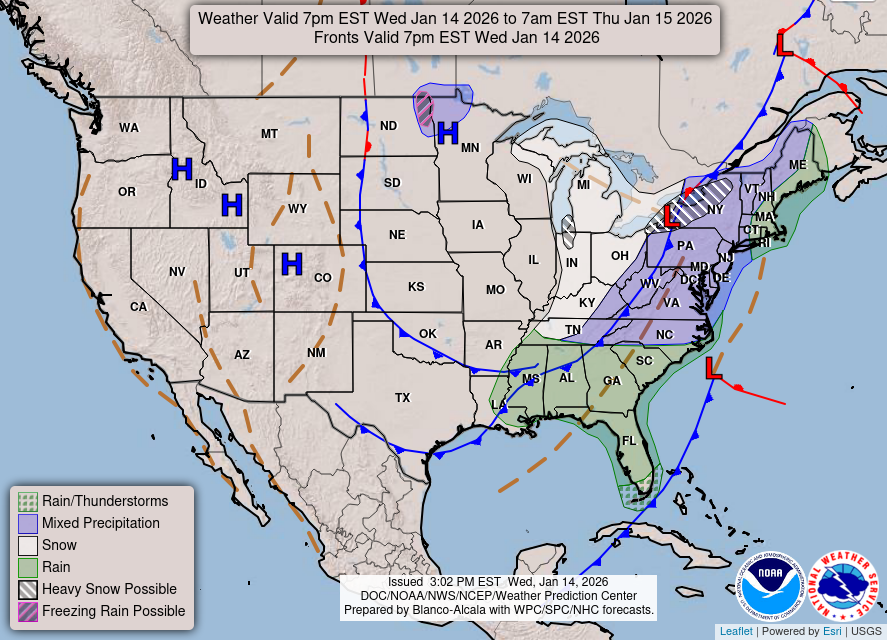 Weather Map
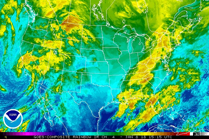 Satellite
 Follow us on X
 Follow us on Facebook
 Follow us on YouTube
 LUB RSS Feed


