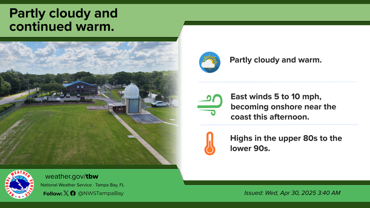
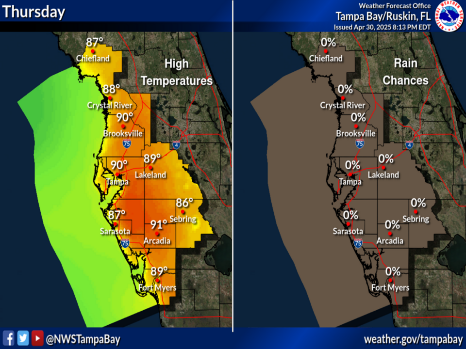
Drier conditions aloft will keep rain chances limited across much of the area today, although isolated showers or storms are still expected to develop this afternoon over the interior. Rain chances will then increase each day through Saturday.
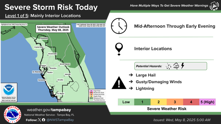
Scattered thunderstorms will develop Thursday and move into the Nature Coast through the afternoon and evening hours. A few strong or severe storms will be possible, with damaging wind gusts being the main hazard.


 TBW Radar Loop
 Weather Map
 Regional Satellite Loop