Heat could...go...all...the...way! Not to the end zone, but up towards record territory. Across the area, forecast high temperatures look to get within 5° of the day's record. The chances of a record are 0-25% on the *cool* days, and as high as 80-90% on the hottest days!


 Local Radar
 Weather Map
 TX Satellite Imagery
 Monthly Hydrologic Reports
 Hurricane Preparedness
 CONUS Satellite Imagery
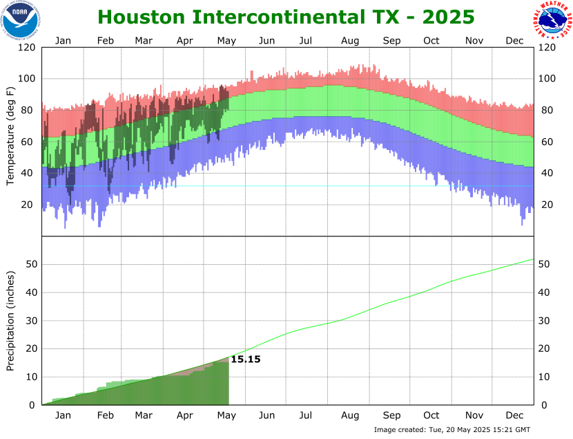 Climate Graphs
 Climate Summaries