National Weather Service United States Department of Commerce

Severe Thunderstorms in the Southern High Plains Saturday; Coastal Flooding in the East

Scattered severe thunderstorms are possible Saturday afternoon into early evening across parts of the southern High Plains. Damaging winds, large hail, isolated tornadoes, and heavy to excessive rainfall are possible. Along the Atlantic Coast, widespread minor to isolated moderate coastal flooding at high tides is forecast through the weekend. Read More >

Click a location below for detailed forecast.

Last Map Update: Fri, Sep 20, 2024 at 11:16:13 pm CDT
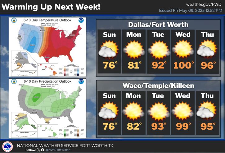
Another humid night is expected with potential near-record high lows in and around the DFW Metroplex. Abnormally warm conditions will persist through the weekend with widespread afternoon highs in the mid- to upper 90s Saturday.
One last hot day will occur on Sunday ahead of a weak cold front, with highs in the lower to middle 90s.
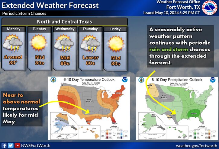
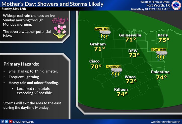
A weak cold front will bring temperatures back to near normal heading into next week, along with a return of rain chances. Scattered showers and storms may accompany the front into North Texas Sunday evening into Monday morning, with additional rain chances lingering through midweek.
It doesn't have to be summer for heat to be dangerous. There will be an increased risk of heat-related illnesses over the next couple of days as temperatures and heat indices continue to soar. Take the proper precautions to keep you and your loved ones safe from the heat. Remember to drink plenty of water (even if you aren't thirsty), wear loose-fitting, light-colored clothing, and spend time in air conditioning and in the shade when possible. Also, NEVER leave people or pets alone in a closed car.

Text Product Selector (Selected product opens in current window)
Latest Text Products Issued (Experimental)
Safe Rooms Icon Cooperatirve Rainfall (CoCoRaHs) icon Storm Ready Icon AirNow Icon