Dangerous Heat to Continue through the Holiday Weekend; Severe Storms on Friday from the Plains to the Mid-Atlantic
Dangerous, record-breaking heat will continue across most of the central and eastern U.S through Friday then focusing across the eastern U.S. through the Independence Day holiday weekend. Peak heat indices of up to 115 degrees are possible. Isolated to scattered severe thunderstorms are possible from the northern/central Plains into the Midwest, Ohio Valley, and Mid-Atlantic Friday.
Read More >
...Heat and Humidity Continue Friday, Not as Hot July 4, Storms Possible...
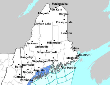
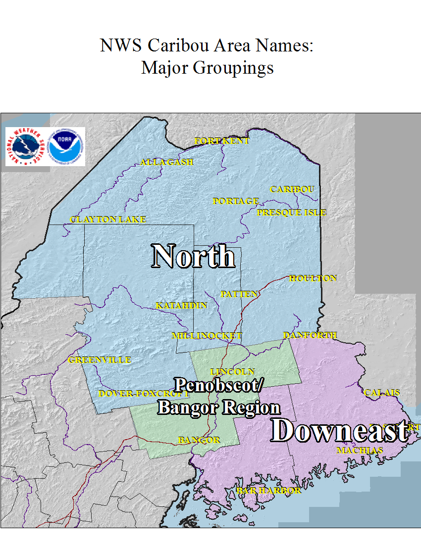
* Record-level heat and humidity continues into Friday with little change. Temperatures will be hottest Friday in the Bangor Region and Downeast. July 4th will still be on the warmer side but Sunday will turn cooler.
* How about rain/storm chances? So far, we have dodged the bullet. Strong/severe storms have passed to the north and southwest of our area, while we have been quiet. The air over the region is potentially extremely unstable, but we have lacked the trigger to ignite strong/severe storms. That said, we are keeping a close eye on things, as there's around a 20 percent chance of storms, and if any do form, they could be severe. A few storms are possible late Friday and again on Saturday, but chances are generally 40 percent or less.
Heat Safety tips - pay special attention to vulnerable populations including, infants and children, older adults, those with chronic illnesses, and those who are pregnant.
This general weather briefing slide is updated daily in the early AM hours before 7am (slide update time at bottom right of slide). It may not be updated as conditions change.For high-impact events, more detailed information will be provided via traditional decision support services.
This is the home page for emergency managers to do a self briefing. For information on a particular hazard, just click on the appropriate orange link above.


 Coastal Flood