HURRICANE (Cat. 3* - July 21st landfall)
This hurricane made landfall 45 miles southwest of Galveston, damaging half of the town of Velasco. The calm in the eye lasted 45 minutes. Maximum winds were estimated at 120 mph and the storm surge reached 10' in some places. A total of 41 lives were lost in TX and property damage was estimated at $2 million. On Galveston Island, the storm was the first real test for the new seawall. On the unprotected west end, the water was seven feet deep while the only damage from the surge downtown was erosion to the roadway and behind the seawall from waves splashing over the top and running down the embankment. Some modifications were made to the seawall as a result.
Tidbit: Thirty-eight persons had to be rescued from Galveston's Fishing Pavillion when a huge cypress log carried by storm waves smashed the structure to pieces.
* - Was a Category 4 well offshore, but weakened to a Category 3 while influencing the upper Texas coast.
HURRICANE (Cat. 1 - June 26th landfall)
This hurricane curved just offshore before making landfall near Matagorda.
TROPICAL STORM (July 10th landfall)
This tropical storm hit near Matagorda Bay wrecking the Pavillion, the wharf, and every bathhouse along the bayfront in Port Lavaca. Wind and rain damaged crops in the area.
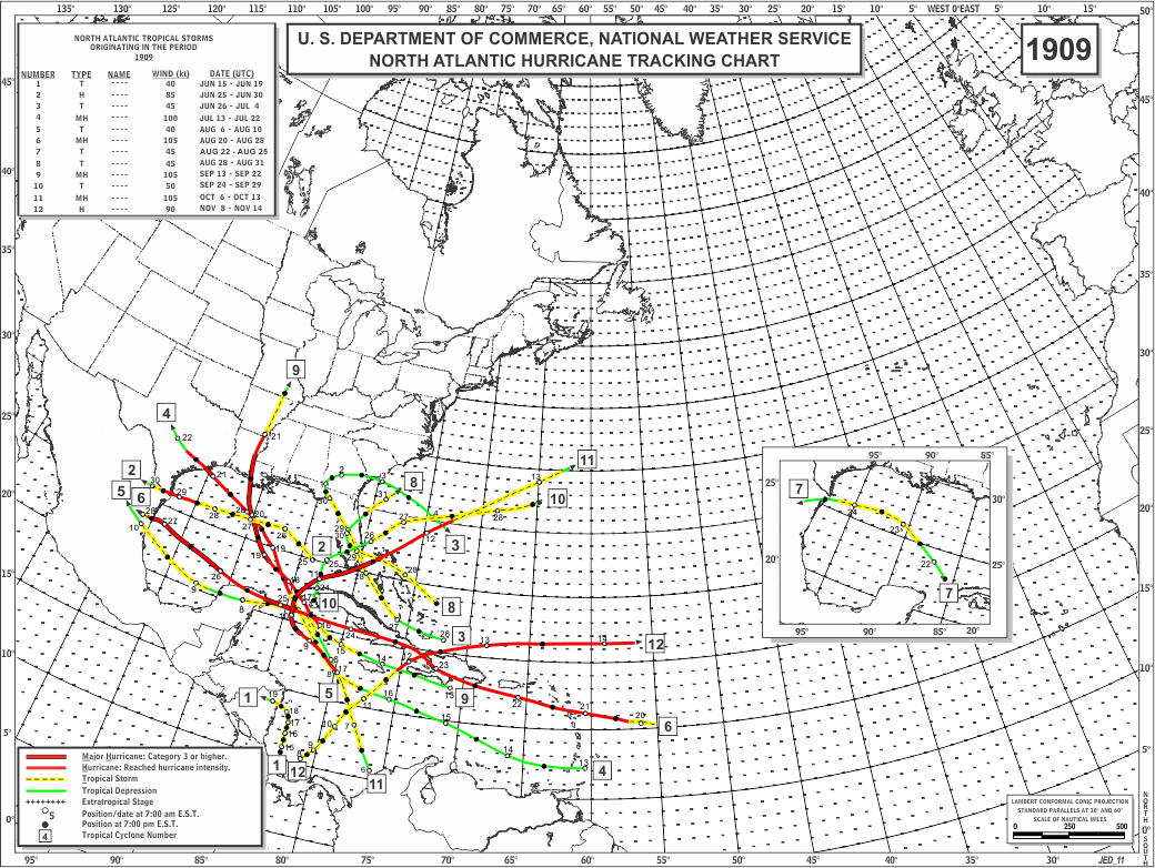
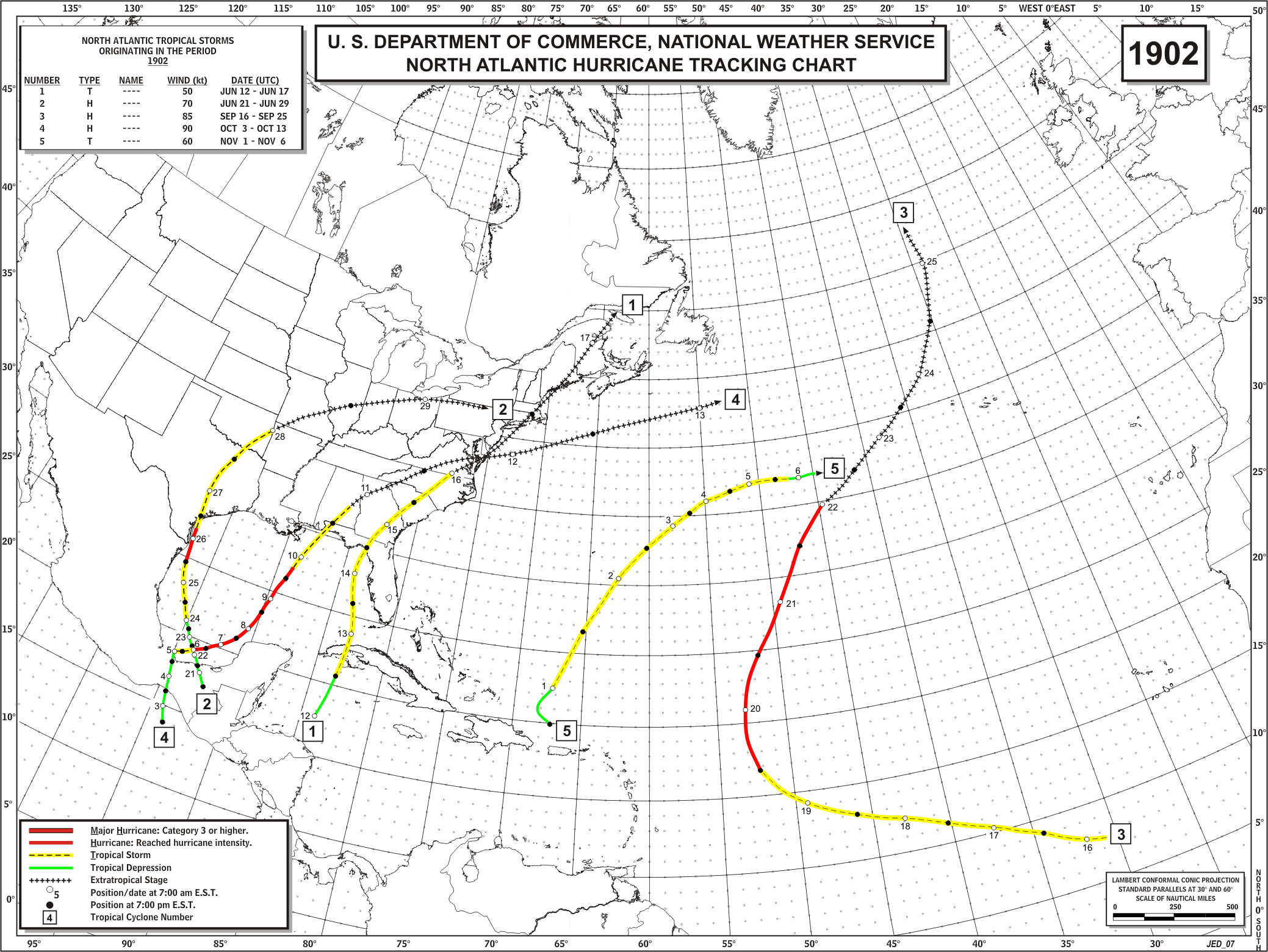
HURRICANE (Cat. 4 - September 9th landfall)
An estimated 8,000 persons died in this hurricane, making it the greatest natural disaster in the history of the United States. On 9/6, the U.S. Weather Bureau confirmed that a hurricane was in the Gulf and posted a hurricane watch as far west as New Orleans. On the 7th, the watch was extended to the Texas coast. At night on 9/7, Galveston had clear skies and a light breeze; by 4 AM on the 8th, a driving rain hit. By 9 AM on the 8th, the water around the island began to rise. As the winds and waves increased, ships were battered against the wharves, and low areas began to flood. A steamship broke free of its moorings and crashed through all three bridges to the mainland, trapping the entire population on the island. By mid-afternoon, winds reached hurricane velocity, and the anemometer blew away at 84 mph. Water ran over five feet deep in streets. By 830 PM, water levels were 20' above normal. Sustained winds blew at 125 mph, and the barometer dropped to 27.64". Houses began to collapse and float about like little arks, and the winds and waves battered house against house. Caskets floated from shallow graves in the cemetaries. The island was awash with 15' of water and animals and humans clung to debris for their lives. Most people drowned or died as their houses collapsed around them, but many were killed by flying objects. The storm subsided around midnight. As it traveled north after landfall, the storm still brought 70 mph winds as far north as the Great Lakes, then moved northeast across Canada and the North Atlantic, before dying in Siberia. Damage totaled $30 million.
The survivors of this hurricane had to dispose the bodies. High temperatures after the storm caused the piles of bodies to begin to swell and blacken, and the threat of disease was serious. Finally, the corpses were weighed, loaded onto barges and taken offshore to be dumped. After a few days, 2,300 had been disposed of in this manner, but most of them washed back ashore on the next tide. In desperation shallow trenches were dug, lined with wood, and the bodies of animals, humans and debris were burned together. The smoke from the funeral pyres burned for weeks over Galveston.
Additional information on this unprecedented disaster can be found at this NOAA article and a NOAA History article (which can also be found at this National Weather Service Heritage webpage).

