Houston/Galveston, TX
Weather Forecast Office
HURRICANE (Cat. 1 - June 28th landfall)
This hurricane produced winds of 90 mph at Port Lavaca. The hurricane was of small diameter, with an area of destruction only about 20 miles wide. The lowest pressure was 29.12", and the highest tide only 3' at Port O'Connor. Three persons were killed by this storm.
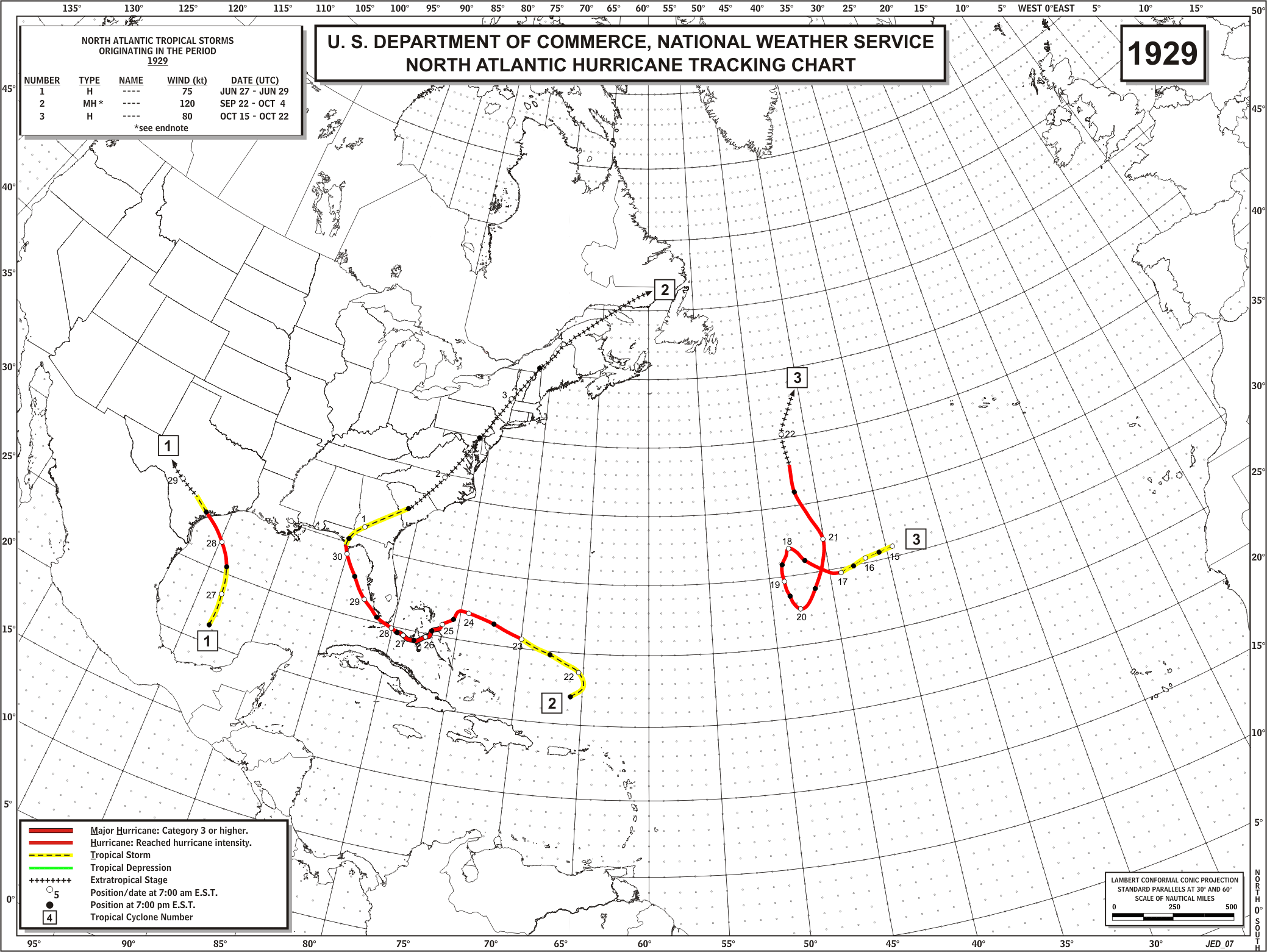
HURRICANE (Cat. 1* - June 22nd landfall)
The remnants of a moderate hurricane made landfall near Port O'Connor, passing over Palacios, Wharton, and Wallis. No lives were lost, but the storm did sink a government survey barge carrying 18,000 barrels of oil at Port Aransas. Maximum winds recorded were 110 mph, and the lowest pressure was 28.91 inches. Winds at Houston and Galveston were 60 mph. A tide of 7.1' was recorded at Pass Cavallo.
* - Was a Category 2 well offshore, but weakened to a Category 1 by landfall.
CURRENT HAZARDS
-National Hurricane Center
-Storm Prediction Center
-Weather Prediction Center
-River Forecast Centers
-Aviation Weather Center
-Center Weather Service Units
-Spaceflight Meteorology Group
-Space Weather Prediction Center
CURRENT WEATHER
-Tides and Currents
-Observations
-Satellite
-Rainfall Reports
-Public Information Statement
-Galveston Beach Patrol (Flag Warning System)
FORECASTS
-Activity Planner
-Forecast Discussion
-Marine
-Tropical
-Aviation
-Fire
-Beach
-Models
-Drought
History
-Our Office
-National Weather Service
-NOAA
-Major Events
RADAR
-Houston/Galveston
-National
-Corpus Christi
-Lake Charles
-Austin/San Antonio
-Granger (Central Texas)
-Worldwide
-Education
Rivers/Lakes/Bayous
-Lower Colorado River Authority
-Harris County Flood Warning System
-Local
-National
-Jefferson County Drainage District 6
-Brazos River Authority
CLIMATE
-Houston Intercontinental
-Houston Hobby
-Galveston
-College Station
-Palacios
-Graphs
-Climate Summaries
-Local Data/Records
-Old Climate Page
-NCEI
-Storm Data
-Weather History
-Wind Roses
Education/Careers
-National Weather Service
-Careers
-Web Weather for Kids
-HGX Teacher Resources
-more
PREPAREDNESS/SAFETY
-Evacuation Planning
-Publications/Brochures
-StormReady
-2026 Hurricane Guide
-2026 Hurricane Guide (Spanish)
-SKYWARN Schedule
-FloodAware
-Weather Radio
-Evacuation ZipZone
-Evacuation Routes
-more
ADDITIONAL INFO
-Weather Ready Nation
-Weather Safety
-Severe Stats
-Air Now
-CoCoRaHS
-Miscellaneous Info
-Astronomical Info
-Frequent Products
-Find It Quick
-Watch, Warning, and Advisory Criteria
Tropical
-Preparedness Meetings
-Historical Tracks
-Education
-Climatology for SE TX
-Hurricane Harvey
-Hurricane Alicia
-Tropical Storm Imelda
-Local Page
US Dept of Commerce
National Oceanic and Atmospheric Administration
National Weather Service
Houston/Galveston, TX
1353 FM 646 Suite 202
Dickinson, TX 77539
281-337-5074
Comments? Questions? Please Contact Us.

