 |
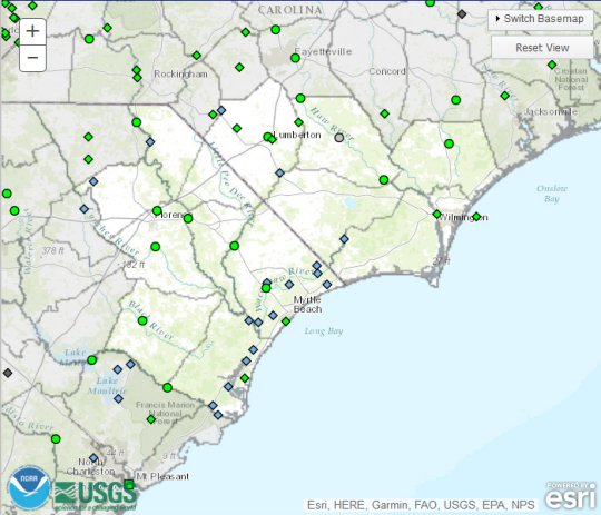
NWPS is the National Weather Service's frontline solution to provide improved river and flood forecasting and water information. Click the image to the left for the latest river information.  |
Watches, Warnings, Advisories and Statements
Note: These products are issued as needed and may not be current, check time and date!
 Most Recent Flood Warning
![]() Flash Flood Warning
Flash Flood Warning
![]() Flood/Flash Flood Watch
Flood/Flash Flood Watch
![]() Most Recent Flood Statement
Most Recent Flood Statement
![]() Flash Flood Statement
Flash Flood Statement
Precipitation Data
![]() Observed
Observed
![]() Forecast
Forecast
Current River Conditions
![]() Area Summary
Area Summary
![]() Cape Fear River Basin
Cape Fear River Basin
![]() Waccamaw River Basin
Waccamaw River Basin
![]() Pee Dee River Basin
Pee Dee River Basin
![]() Other Rivers in the Area
Other Rivers in the Area
Forecasts and Outlooks
![]() Daily River Stage Forecast - Also available in the Local River Summary
Daily River Stage Forecast - Also available in the Local River Summary
![]() Southeast River Forecast Center Quick Brief
Southeast River Forecast Center Quick Brief
![]() Significant River Flood Outlook
Significant River Flood Outlook
Drought Information
![]() NWS Wilmington Drought Monitoring Page
NWS Wilmington Drought Monitoring Page
![]() Latest Drought Depiction (U.S. Drought Monitor)
Latest Drought Depiction (U.S. Drought Monitor)
![]() Seasonal Drought Outlook
Seasonal Drought Outlook
![]() Current Palmer Drought Severity Index Map
Current Palmer Drought Severity Index Map
![]() Other Palmer Drought Severity Maps
Other Palmer Drought Severity Maps
![]() Soil Moisture Monitoring Information
Soil Moisture Monitoring Information
![]() Climate Predition Center's U.S. Drought Assessment Site
Climate Predition Center's U.S. Drought Assessment Site
![]() Drought Information for Kids
Drought Information for Kids
Related Links
![]() Advanced Hydrologic Prediction Services (AHPS)
Advanced Hydrologic Prediction Services (AHPS)
![]() Southeast River Forecast Center
Southeast River Forecast Center
![]() National Weather Service Hydrologic Services Program
National Weather Service Hydrologic Services Program
![]() U.S. Army Corps of Engineers - Wilmington District
U.S. Army Corps of Engineers - Wilmington District
![]() U.S. Army Corps of Engineers - Charleston District
U.S. Army Corps of Engineers - Charleston District
![]() USGS South Atlantic Water Science Center
USGS South Atlantic Water Science Center
![]() South Carolina Department of Natural Resources
South Carolina Department of Natural Resources


 Coastal Flood
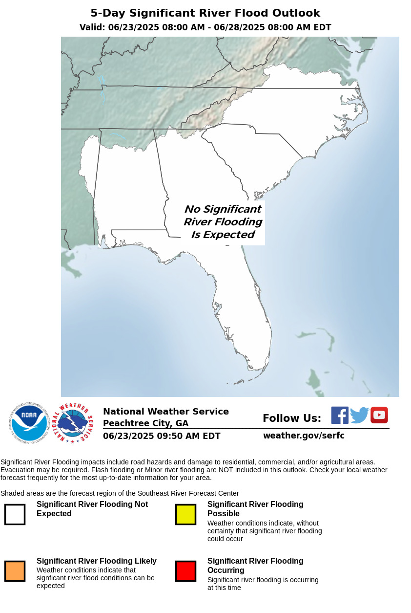