An Extreme Cold Watch has been issued from Saturday evening through early next week. Dangerously cold wind chills as low as 5 to 15 possible, with the coldest values Sunday night into Monday morning. A hard
freeze is also possible Saturday night and Sunday night with lows
in the 10s to lower 20s. Some areas north of I-10 may remain below
freezing all day on Sunday.
Now is the time to prepare! Protect people, pets, plants and pipes from cold weather!


 Local Radar
 Weather Map
 TX Satellite Imagery
 Monthly Hydrologic Reports
 Hurricane Preparedness
 CONUS Satellite Imagery
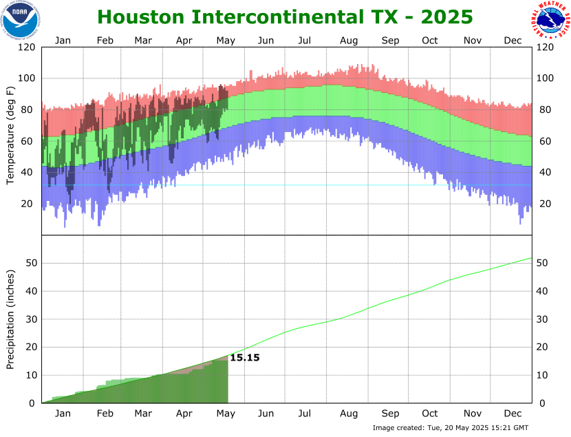 Climate Graphs
 Climate Summaries