Weak cold front pushes through Wednesday afternoon leading to clearing skies as drier air filters in. High temperatures mainly in the upper 60s to mid 70s across the region. Winds will remain light throughout the day.
A warming trend is expected through the end of the week. By the weekend or early next week, another cold front may push into the region bringing cooler temperatures and a chance of rain.


 Local Radar
 Weather Map
 TX Satellite Imagery
 Monthly Hydrologic Reports
 Hurricane Preparedness
 CONUS Satellite Imagery
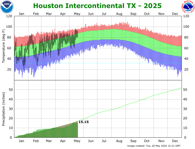 Climate Graphs
 Climate Summaries