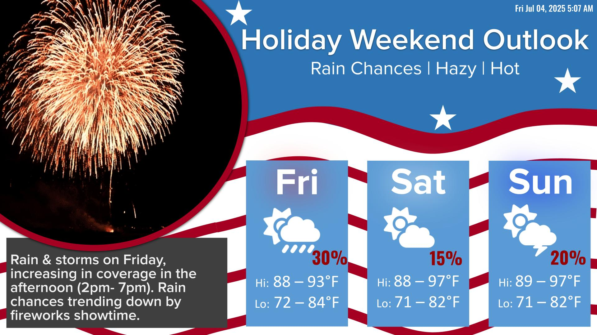
Forecast is trending a bit more rainy for the 4th of July. Isolated showers with a few storms are possible early in the morning, with the best coverage between 2 PM - 7PM. Precipitation chances will trend down by fireworks showtime. Saturday looks drier with a few storms in the afternoon. The next best chance for showers and storms return on Sunday, mainly for areas south of I-10. Hazy skies due to Saharan dust continue.


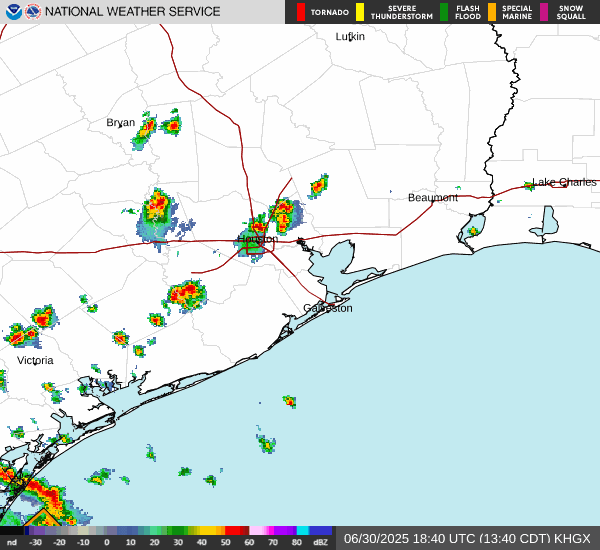
 Local Radar
 Weather Map
 TX Satellite Imagery
 Monthly Hydrologic Reports
 Hurricane Preparedness
 CONUS Satellite Imagery
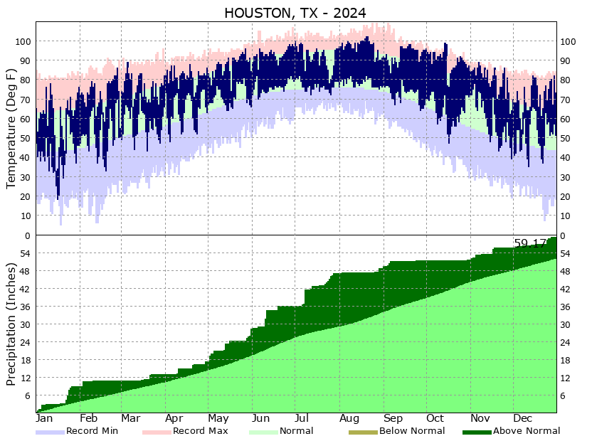 Climate Graphs
 Climate Summaries