Expect things to gradually heat up through Thursday, with highs climbing into the mid-to-upper 70s. A weak cold front will swing through late Thursday, bringing a quick cool-down for Friday, but temperatures are expected to rebound fast for the start of the weekend. Keep an eye out for scattered showers and isolated storms Tuesday night through Wednesday, along with some patchy fog during the overnight periods.


 Local Radar
 Weather Map
 TX Satellite Imagery
 Monthly Hydrologic Reports
 Hurricane Preparedness
 CONUS Satellite Imagery
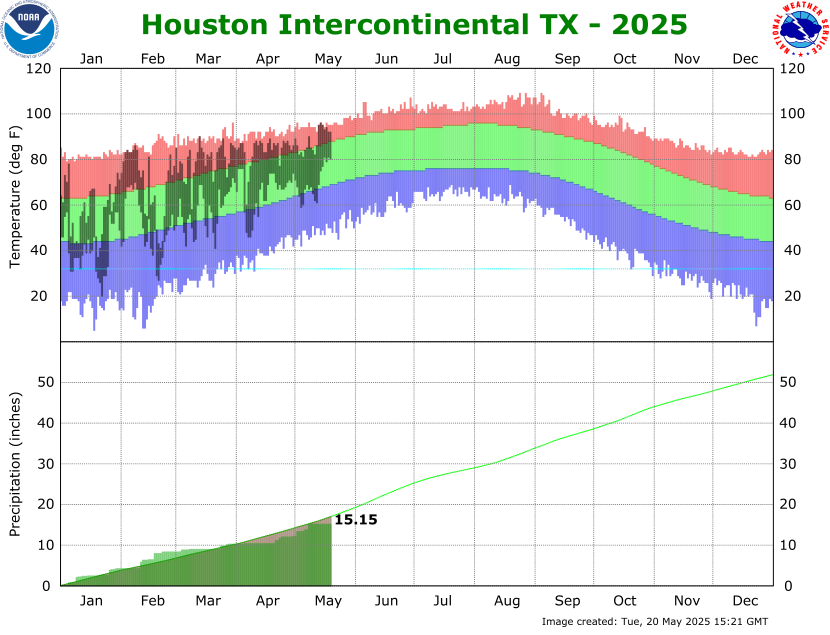 Climate Graphs
 Climate Summaries