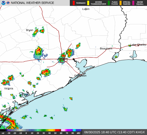
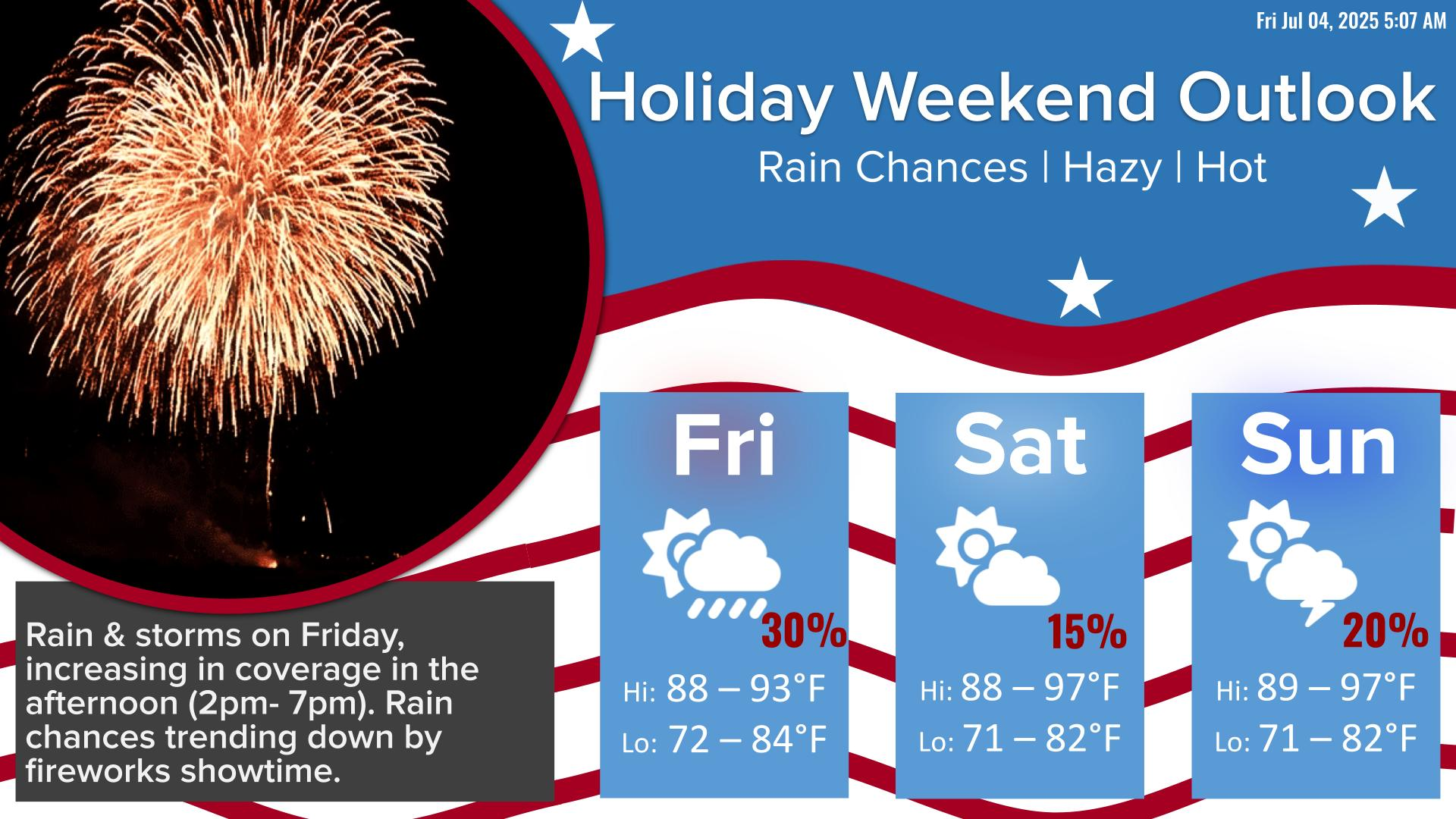
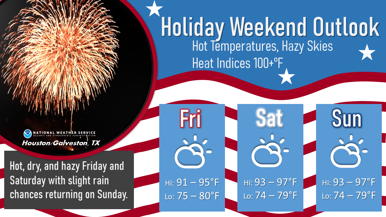
We continue to monitor a disorganized disturbance currently over Southeast Louisiana. Based on the current structure of the disturbance (storms displaced well away from the center), the chances of it developing into a tropical depression later today are decreasing. The National Hurricane Center is now giving this system a 10% chance of development into a tropical depression, which is a lower probability than previous outlooks. Regardless of development, a surge of tropical moisture could enhance the risk of heavy showers and thunderstorms in Southeast Texas on Friday.


 Local Radar
 Weather Map
 TX Satellite Imagery
 Monthly Hydrologic Reports
 Hurricane Preparedness
 CONUS Satellite Imagery
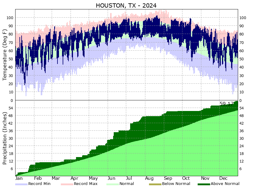 Climate Graphs
 Climate Summaries