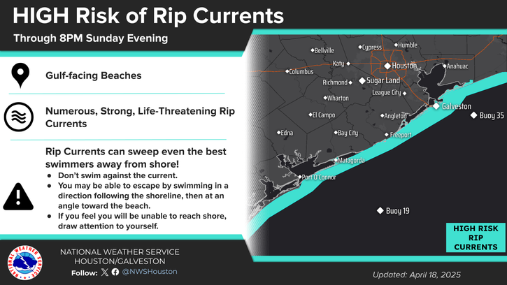
Dangerous rip currents are expected along all Gulf-facing beaches today. Use extra caution, especially near jetties and piers. Always swim near a lifeguard.
Strong to severe storms will be possible this afternoon and evening. Damaging winds and large hail are the main risks. At the moment, the best window for possible severe storms will be from 3 PM to 10 PM.


 Local Radar
 Weather Map
 TX Satellite Imagery
 Monthly Hydrologic Reports
 Hurricane Preparedness
 CONUS Satellite Imagery
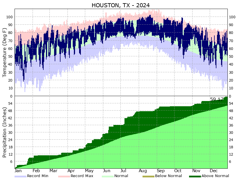 Climate Graphs
 Climate Summaries