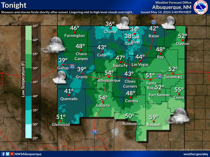
Behind Tuesday's system, temperatures are expected to plummet to the coldest readings of the 2024 Fall Season to date witha widespread freeze expected across western and central NM Wendesday morning and most areas Thursday morning. Please make any preperations to protect any sensitive vegetation, plumbing, and pets.


