Strong to marginally severe thunderstorms are possible this afternoon and again after midnight tonight. The main concerns will be the potential from strong wind gusts up to 60 mph possible. Overnight there will be slightly more favorable conditions for isolated, brief tornadoes across portions of southeastern GA. Both this afternoon and tonight, heavy downpours with the stronger thunderstorms may lead to periods of localized heavy rain, especially in urban and flood-prone areas.


 Jacksonville Radar
 Weather Map
 Regional Satellite
  DAY 1 Convective Outlook
 Tropical Weather Outlook
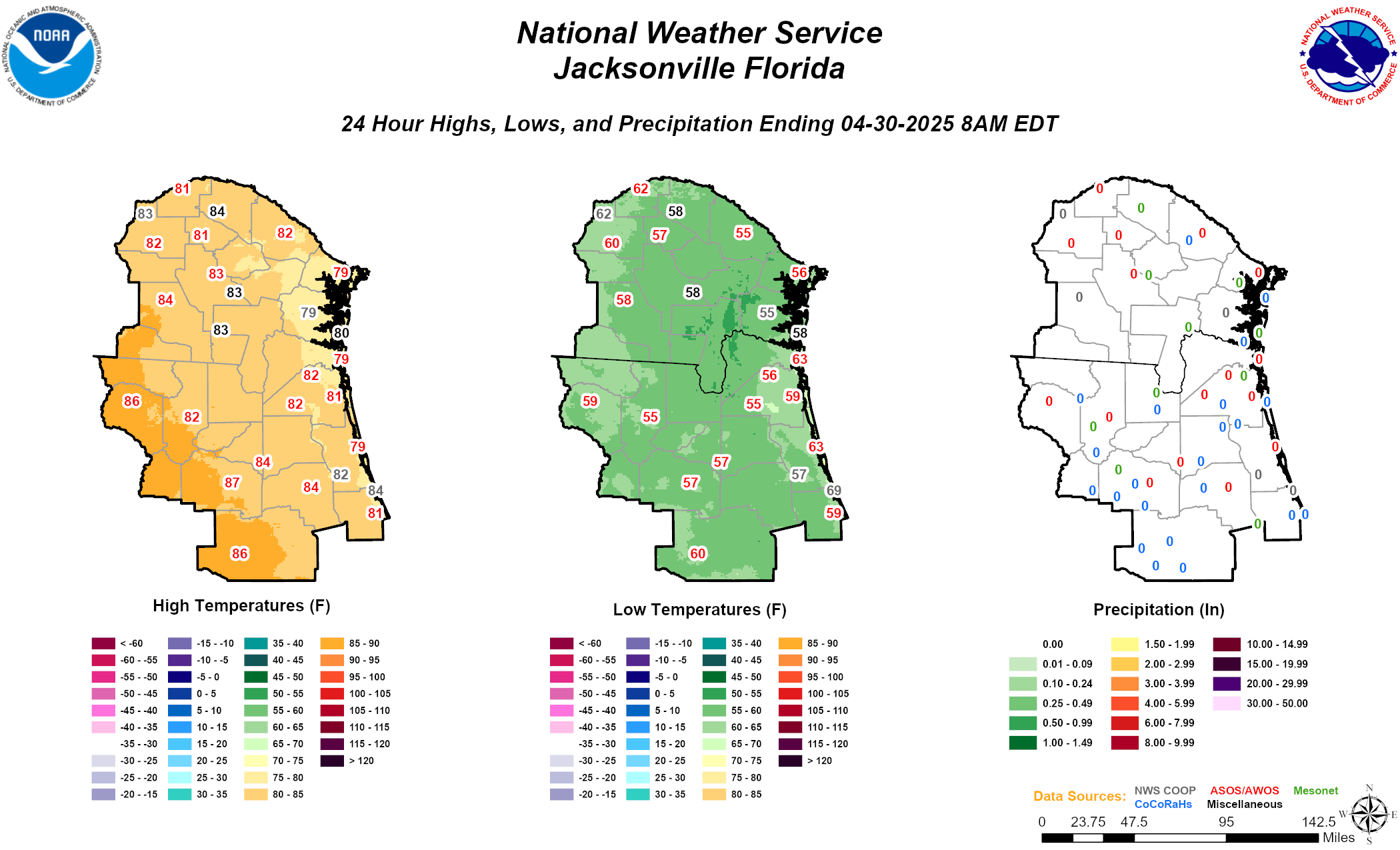 Daily Graphics