National Weather Service United States Department of Commerce

What to Report

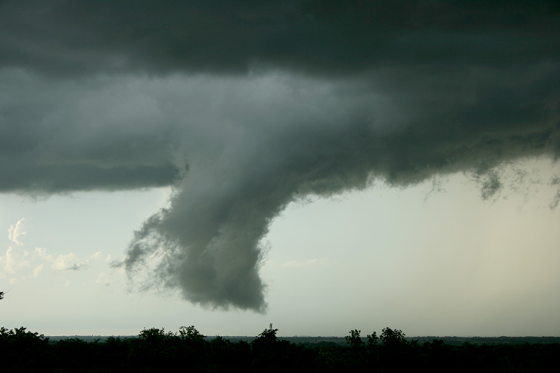
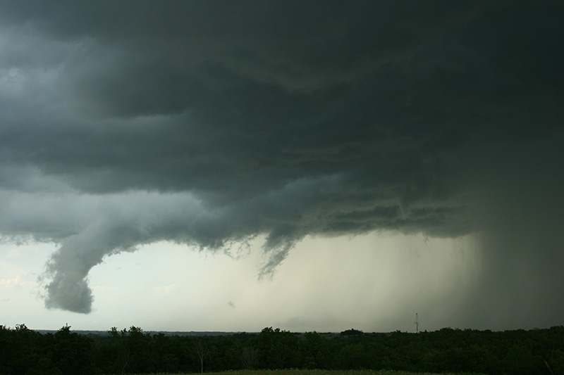
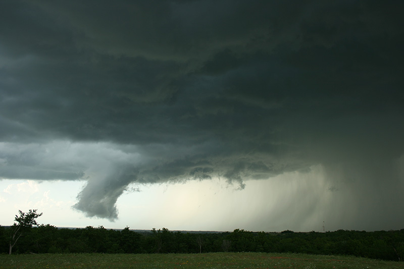
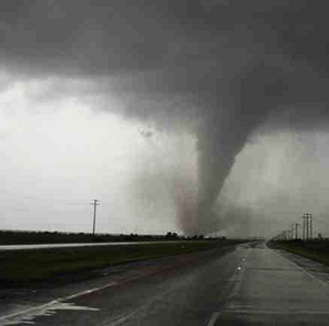
Effective spotter reports are a critical component of NWS severe weather operations. NWS meteorologists use science, technology, training, experience, and spotter reports when making warning decisions.

An effective spotter report is one that is timely, accurate, and detailed. In short, report what HAS happened and what IS happening, NOT what you think will happen.

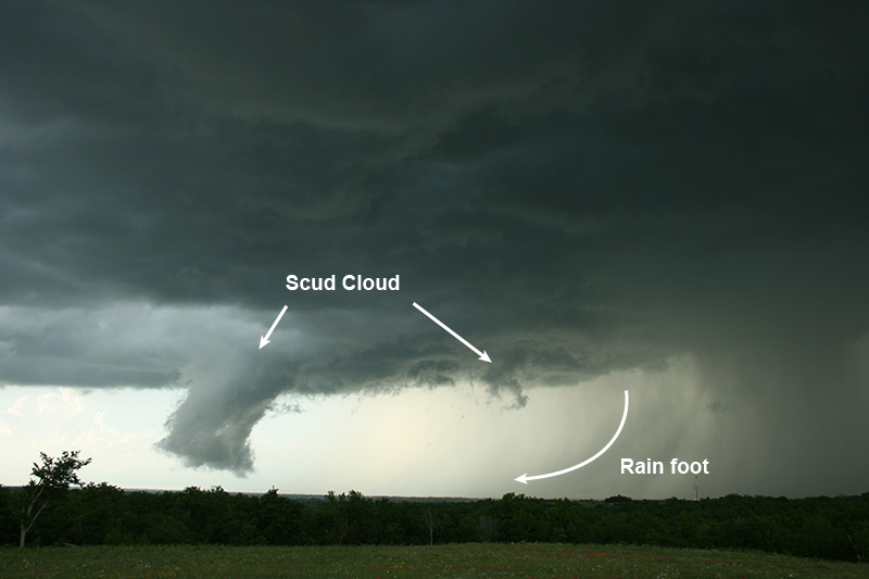
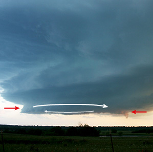
You should use the following guidelines when reporting...

  1. Follow the specific reporting guidelines for your area.
  2. Remain calm, speak clearly, and do not exaggerate the facts.
  3. If you are unsure of what you are seeing, make your report, but also express your uncertainty.
  4. Your report should contain the following information:
    • WHO you are: trained spotter,
    • WHAT you have witnessed: the specific weather event,
    • WHEN the event occurred: NOT when you make your report, and
    • WHERE the event occurred, (not necessarily your location) using well known roads or landmarks.
Not a tornado! Scud cloud formed on outflow of precipitation (seen on the right). However, this thunderstorm was in a region where several tornadoes formed in Central Oklahoma this particular day. Your accurate observation/reports are most helpful to the National Weather Service and to your community as well.

Immediate, real-time reports, are most helpful for warning operations, but delayed reports are also important, even days after an event. Delayed reports are used for climatological and verification purposes.

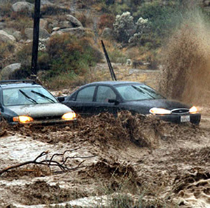
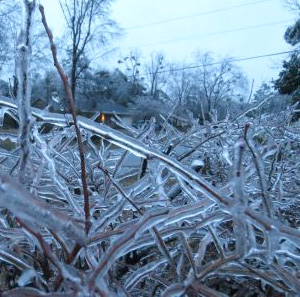
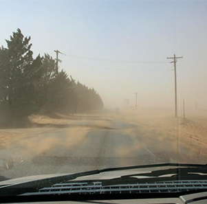
Weather events should be reported according to the instructions provided by your local NWS office. Here are some general guidelines on what to report...

  1. What damage did you observe?
  2. How long was it on the ground?
  3. When did it start and end?
  4. How wide was it?
  5. How far did it travel if known?
Watch for organization, persistence and rotation. Report if clouds are rotating and how long they have existed.
Only report lightning when damage or injuries occur.
  1. Report measured wind speed. Handheld anemometers are available for under $15.
  2. Report estimated wind speed based primarily on wind damage. Wind speed estimation is difficult and often overestimated by as much as 30%. Providing a detailed description of moving objects or damage is often more useful.
  3. Details to submit for tree damage:
    • What is the height and diameter of the branch, limb or tree that was broken or blown down?
    • Was the tree healthy or decayed?
    • What type of tree was damaged, e.g., hardwood or softwood?
  4. Details to submit for damage to structures:
    • Is the damage to a well-built structure or a weak outbuilding?
    • What is the main building material for the structure: wood, brick, metal, concrete, etc.?
    • If the structure is a mobile home, was it anchored down?
Estimating Wind Speed: It's often difficult to estimate wind speed, especially in the plains where there are few physical indicators to observe damage. Below is the Beaufort Wind Force Scale for estimating wind speeds. This is only a rough guide. Actual damage may occur at weaker or stronger speeds.
Wind Speed (mph) Effects
25-31 Large branches in motion.
32-38 Whole trees in motion.
39-54 Twigs break off trees, wind impedes walking.
55-72 Damage to TV antennas, large branches break off trees.
73-112 Surfaces off roofs peeled off, windows broken, trailer homes overturned.
113+ Roofs blown from houses, weak buildings and trailer homes destroyed, large trees uprooted, train cars blown off tracks.

Report the size of the largest stone and any damage. To estimate size, compare hail to well known objects such as coins or balls, but not to marbles, or measure the hail with a ruler.
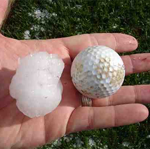
Estimating Hail Size: When reporting hail, it is best to measure the hail when safe to do so. If you are not equipped with a ruler or other measuring instrument, hail size can be related loosely to coins or athletic balls, as in this table:
Size Report   Size Report
<¼" BB   1¾" Golf Ball
¼" Pea   2" Lime
7/10" Dime   2½" Tennis Ball
¾" Penny   2¾" Baseball
7/8" Nickel   3" Large Apple
1" Quarter   4" Softball
1¼" Half Dollar   4½" Grapefruit
1½" Walnut or
Ping-Pong Ball
     
  1. Report flooded roadways, rivers and streams, giving approximate water depth.
  2. Does the flooding consist of standing water or is it flowing?
  3. Is the water level continuing to rise, staying steady or falling?
  4. Is the flooding occurring in a known flood prone area?
  5. Any damage from the flooding or mud slides?
  1. Report any occurrence of freezing rain, ice accumulation and damage.
  2. How much heavy snow accumulation is there and is there any damage?
  3. Do blizzard conditions exist: winds 35 mph or more AND visibility ¼ mile (1,320 feet) or less?
  1. Waterspouts: you must observe rotation.
  2. Squall lines.
  3. Heavy freezing spray.
  4. Wave heights and winds that differ significantly from forecasted conditions.
  5. Hydrometeorological phenomena that are not in the current marine forecast, e.g., thunderstorms, dense fog.
  6. Waves greater than twice the size of surrounding waves.
  7. Tsunami inundation and any damage.
  8. Coastal Flooding: Inundation of people, buildings, and coastal structures on land at locations that under normal conditions are above the level of high tide.
  9. Lakeshore Flooding: Inundation of land areas along the Great Lakes over and above normal lake levels.
  10. High Surf: Large waves breaking in the surf zone with sufficient energy to erode beaches, move large logs, wash over jetties or exposed rocks, etc.
  1. Dense fog: visibility ¼ mile (1,320 feet) or less .
  2. Dust storms: visibility ¼ mile (1,320 feet) or less.
  3. Volcanic ash accumulation and any damage.
  4. Any injuries or fatalities as a direct result of weather.